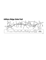
Military Ridge State Trail Map
Simple map marking trail route.
857 miles away
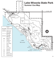
Lake Wissota State Park Map
Easy hiking along the beautiful water front.
916 miles away
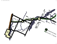
Tuscobia Map
Lakes and trails are easy to follow on this map.
952 miles away
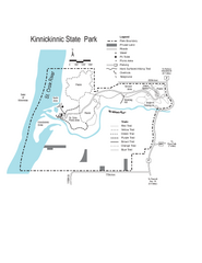
Kinnickinnic State Park Map
Map detailing hiking routes and stops along the way.
979 miles away
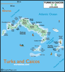
Turks and Caicos Map
Tourist map of Turks and Caicos maps
1205 miles away
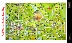
Dallas Fort Worth Area Map
Tourist map of Dallas/Fort Worth area
1282 miles away
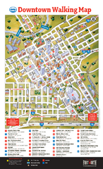
Downtown Fort Worth Map
Tourist map of downtown Fort Worth
1296 miles away
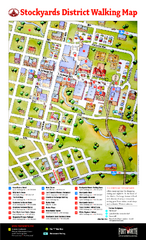
Fort Worth Stockyards District Map
Tourist map of Stockyards district
1296 miles away
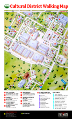
Fort Worth Cultural District Map
Tourist map of cultural district of Fort Worth
1298 miles away

Downtown San Antonio Map
Tourist street map of downtown San Antonio
1468 miles away
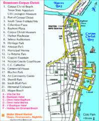
Downtown Corpus Christi Map
Tourist map of downtown Corpus Christi, with detail of local attractions
1477 miles away
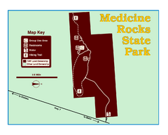
Medicine Rocks State Park Map
As the name implies, Medicine Rocks was a place of "big medicine" where Indian hunting...
1552 miles away
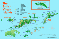
British Virgin Islands Tourist Map
Tourist map of British Virgin Islands with list of major attractions
1559 miles away
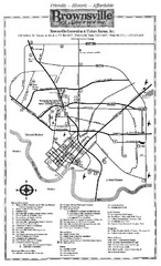
Brownsville Tourist Map
Tourist map of Brownsville with detail of local attractions
1564 miles away
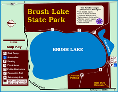
Brush Lake State Park Map
Simple and easily read map.
1569 miles away
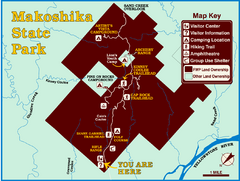
Makoshika State Park Map
To the Sioux Indians, Ma-ko-shi-ka meant bad earth or bad land. Today, as Montana’s largest...
1573 miles away
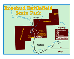
Rosebud Battlefield State Park Map
This National Historic Landmark on the rolling prairie of eastern Montana preserves the site of the...
1667 miles away
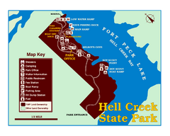
Hell Creek State Park Map
You’ll reach this campground park, 25 miles north of Jordan, through the spectacular scenery...
1681 miles away
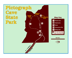
Pictograph Cave State Park Map
The 2,730-square-foot building, on the northwestern side of the existing parking lot, is designed...
1738 miles away
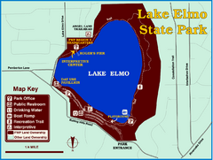
Lake Elmo State Park Map
This urban day-use park attracts visitors to swim, sailboard, and fish. A display in the Fish...
1741 miles away
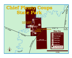
Chief Plenty Coups State Park Map
Simple and clear map of State Park.
1743 miles away

Cooney State Park Map
Simple and clear State Park Map.
1776 miles away
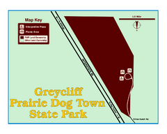
Greycliff Prairie Dog Town State Park Map
Grab your camera and hop off Interstate 90 at Greycliff to delight in the playful, curious black...
1805 miles away
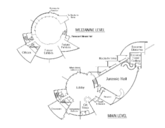
Utah Field House of Natural History Map
So much time is revealed here, even more geologic time than in the Grand Canyon. Within an 80-mile...
1806 miles away
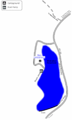
Steinaker State Park Map
Fish for rainbow trout and largemouth bass, and enjoy sandy beaches, swim, boat, and waterski at...
1807 miles away

Downtown El Paso Map
Downtown tourist street map of El Paso and nearby Juarez
1811 miles away
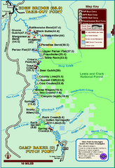
Smith River State Park Map
The Smith River is a unique 59-mile river corridor. Permits are required to float the stretch of...
1841 miles away
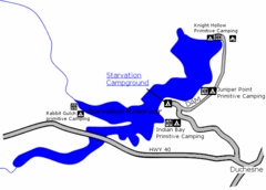
Starvation State Park Map
The sprawling waters of Starvation Reservoir offer great fishing and boating. Find a secluded...
1859 miles away
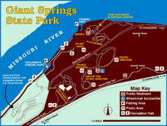
Giant Springs State Park Map
Set aside a whole afternoon to experience this scenic and historic freshwater springs site. First...
1880 miles away
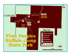
First People's Buffalo Jump State Park Map
A visitor center and interpretive trails tell the story of this prehistoric bison kill site, one of...
1884 miles away
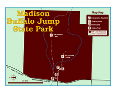
Madison Buffalo Jump State Park Map
You’ll find this day-use-only park seven graveled miles off Interstate 90 at the Logan exit...
1885 miles away
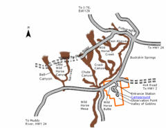
Goblin Valley State Park Map
The vast landscape of sandstone goblins may have visitors wondering if they're in Mars or Utah...
1892 miles away
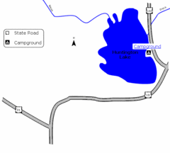
Huntington Lake State Park Map
Take a hike around this beautiful lake.
1893 miles away
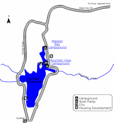
Scofield State Park Map
Camp, boat, and fish at this summer and winter recreation destination situated high in the Manti...
1900 miles away
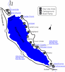
Rockport State Park Map
Find first-rate, year-round recreation at this northern Utah destination. During summer, fish, boat...
1901 miles away
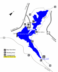
Jordanelle State Park Map
Jordanelle State Park is located in a picturesque mountain setting near Heber City. The park offers...
1903 miles away
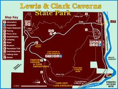
Lewis and Clark Caverns State Park Map
Montana's first and best-known state park showcases one of the most highly decorated limestone...
1905 miles away
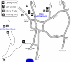
Wasatch Mountain State Park Map
Year-round adventure awaits - golf, hike, bike, camp, horseback ride, snowmobile, cross-country ski...
1908 miles away
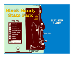
Black Sandy State Park Map
Simple but clear map of State Park.
1908 miles away
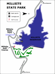
Millsite State Park Map
Camp in the quiet campground, and boat and fish on the blue waters of Millsite Reservoir. Play 18...
1910 miles away

