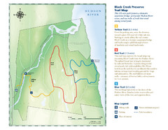
Black Creek Trail Preserve Map
Trail map of Black Creek Preserve on the Hudson River in New York. Shows Yellow Trail, Red Trail...
78 miles away
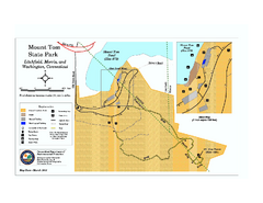
Mount Tom State Park trail map
Trail map of Mt. Tom State Park in Connecticut.
78 miles away

Macedonia Brook State Park campground map
Campground map for Macedonia Brook State Park in Connecticut.
79 miles away
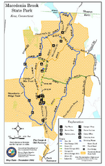
Macedonia Brook State Park trail map
Trail map of Macedonia Brook State Park in Connecticut.
79 miles away
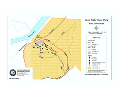
Kent Falls State Park trail map
Trail map of Kent Falls State Park in Connecticut.
80 miles away
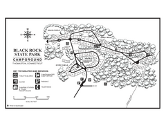
Black Rock Campground map
Map of the Campgrounds in Black Rock State Park.
81 miles away
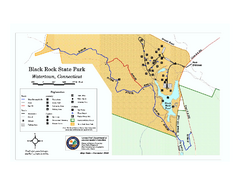
Black Rock State Park trail map
Trail map of Black Rock State Park in Connecticut.
81 miles away
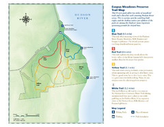
Esopus Meadows Preserve Trail Map
Trail map of Esopus Meadows Preserve park on the Hudson River.
81 miles away
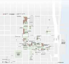
Independence National Historical Park Official Map
Official NPS map of Independence National Historical Park in Pennsylvania. Map shows all areas...
82 miles away
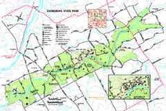
Evansburg State Park map
Detailed map of Evansburg State Park in Pennsylvania
82 miles away
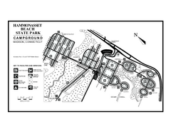
Hammonasset Beach State Park campground map
Campground map of Hammonasset State Park in Connecticut.
84 miles away
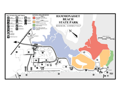
Hammonasset Beach State Park map
Trail map for Hammonasset Beach State Park in Connecticut.
84 miles away
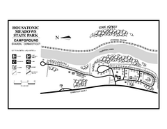
Housatonic Meadows State Park campground map
Campground map for Housatonic Meadows State Park in Connecticut.
85 miles away
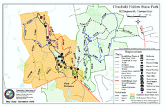
Chatfield Hollow State Park map
Trail map of Chatfield Hollow State Park
86 miles away
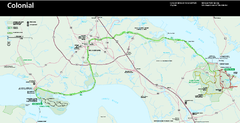
Colonial National Historical Park Official Map
Official NPS map of Colonial National Historical Park in Virginia. The Historic Jamestowne...
87 miles away
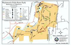
Wadsworth Falls State Park map
Trail map of Wadsworth Falls State Park in Connecticut.
89 miles away
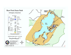
Burr Pond State Park map
Map of Burr Pond State Park in Connecticut.
93 miles away
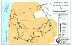
Hurd State Park trail map
Trail map for Hurd State Park in Connecticut.
94 miles away
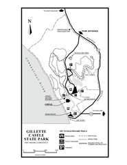
Gillette State Park trail map
Trail map of Gillette Castle State Park in Connecticut.
95 miles away
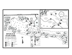
Dinosaur State Park map
Trail map of Dinosaur State Park in Connecticut.
96 miles away
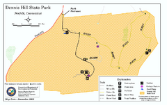
Dennis Hill State Park map
Trail map of Dennis Hill State Park in Connecticut.
96 miles away
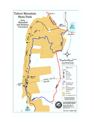
Talcott Mountain State Park map
Trail map of Talcott Mountain State Park in Connecticut.
100 miles away
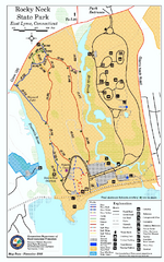
Rocky Neck State Park trail map
Trail map of Rocky Neck State Park in Connecticut.
100 miles away
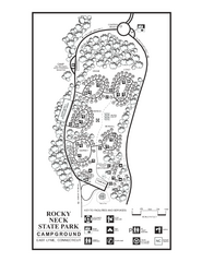
Rocky Neck State Park campground map
Campground map of Rocky Neck State Park in Connecticut.
100 miles away
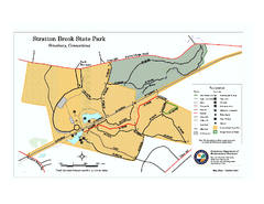
Stratton Brook State Park map
Trail map of Stratton Brook State Park in Connecticut.
101 miles away
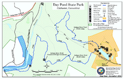
Daypond State Park map
Trail map for Day Pond State Park
101 miles away
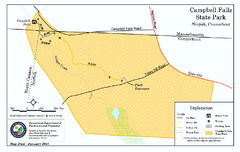
Cambell Falls State Park map
Trail map of Campbell Falls State Park Reserve in Connecticut
101 miles away
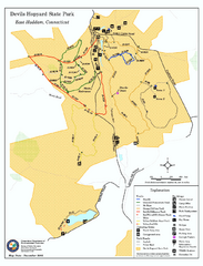
Devils Hophard State Park map
Trail and camprground map for Devils Hopyard State Park in Connecticut.
101 miles away
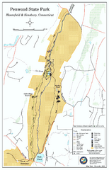
Penwood State Park map
Trail map of Penwood State Park in Connecticut.
102 miles away
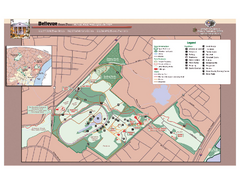
Bellevue State Park Map
Beautiful park with easy to read details.
102 miles away
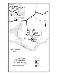
Harkness Memorial State Park map
Trail map of Harkness Memorial State Park in Connecticut.
106 miles away
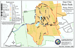
Gay City State Park trail map
Trail map of Gay City State Park in Connecticut.
107 miles away
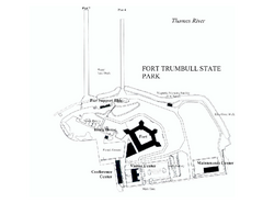
Fort Trumbull State Park map
Map of Fort Trumbull State Park in Connecticut.
108 miles away
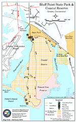
Bluff Point State Park map
Trail map for Bluff Point State Park and Coastal Reserve.
111 miles away
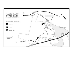
Haley Farm State Park map
Trail map of Haley Farm State Park in Connecticut.
112 miles away
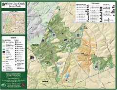
White Clay Creek State Park Map
Clear map and legend of this beautiful state park.
116 miles away
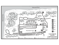
Salt Rock State Park campground map
Campground Map of Salt Rock State Campground in Connecticut.
118 miles away
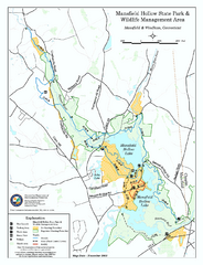
Mansfield Hollow State Park map
Map for Mansfield Hollow State Park and Wildlife Management Area in Connecticut.
119 miles away
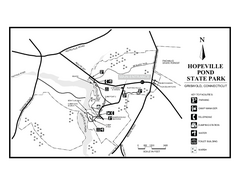
Hopeville Pond State Park trail map
Trail map for Hopevill Pond State Park in Connecticut
124 miles away

