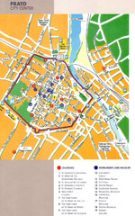
Prato Tourist Map
Tourist map of center of the city of Prato, Italy. Shows points of interest.
159 miles away
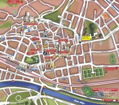
Trento Tourist Map
Tourist map of central Trento, Italy. Shows major buildings.
163 miles away
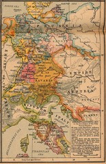
Germany Italy 1806 Map
Germany and Italy in 1806 at the dissolution of the Roman Empire
167 miles away
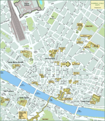
Florence Tourist Map
Shows museums and other points of interest in central Florence, Italy.
170 miles away
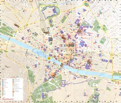
Florence Map
170 miles away
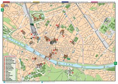
Florence Tourist Map
Tourist map of the historical center of Florence, Italy. Shows major attractions.
170 miles away
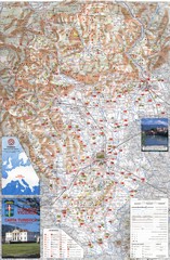
Vicenza Tourist Map
Tourist map of region around Vicenza, Italy. Shows points of interest. In Italian. Scanned.
171 miles away
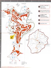
San Gimignano Map
172 miles away
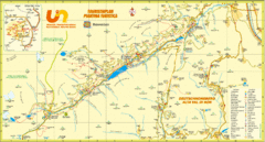
Ultental Deutschnonsberg St. Walburg Tourist Map
Tourist map of the southern Tyrol region around Ultental, Deutschnonsberg, and St. Walburg/ S...
176 miles away
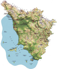
Tuscany Physical Map
Physical map of Tuscany, Italy.
176 miles away
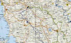
Tuscany Road Map
Road map of Tuscany, Italy. Shows routes of some kind.
176 miles away
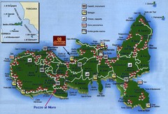
Elba Tourist Map
Tourist map of the island of Elba, Italy. Shows points of interest.
179 miles away
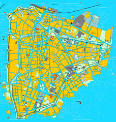
Padova Tourist Map
Tourist map of central Padova (Padua), Italy. Shows major buildings and other tourist information.
182 miles away

Padova Street Map
Street map of central Padova, Italy. Shows public phones.
182 miles away
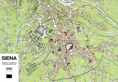
Siena Map
190 miles away
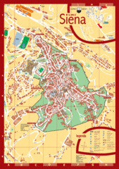
Siena Tourist Map
Tourist map of central Siena, Italy in Tuscany. Shows points of interest.
190 miles away
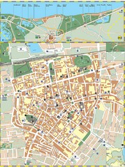
Ravenna Street Map
Street map of central Ravenna, Italy.
200 miles away
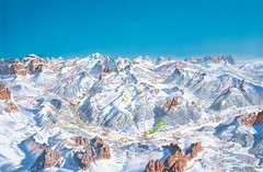
Canazei Campitello Ski Trail Map
Ski trail map of Canazei-Campitello area in the Italian Dolomites.
201 miles away
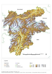
South Tyrol Elevation Map
Physical relief map of the South Tyrol region in present-day borders of Italy and Austria.
201 miles away
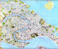
Venice Street Map
Detailed street map of Venice, Italy showing major landmarks, canals, and buildings.
205 miles away
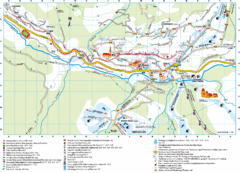
Santa Cristina Tourist Map
Tourist map of town of Santa Cristina Val Gardena, Italy. Santa Cristina lies on the sunny side of...
205 miles away
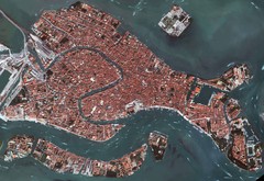
Venice Aerial Map
Aerial map of Venice, Italy. Shows points of interest.
205 miles away
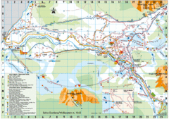
Selva Gardena Tourist Map
Tourist map of Selva Gardena, Italy, a popular skiing and hiking destination in the Italian Alps.
206 miles away
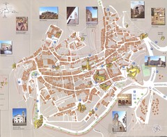
Montalcino Map
207 miles away
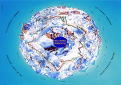
Sella Ronda Ski Tour Map
Shows ski mountaineering tour of Sella Ronda, a circular ski route leading around the mighty Sella...
207 miles away
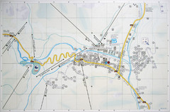
Corvara Town Map
Tourist map of Corvara, Italy in the Dolomites. From photo of sign
211 miles away
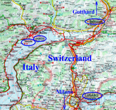
Southern Europe Map
211 miles away
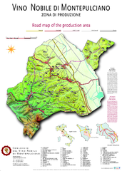
montepulciano road map of production area
217 miles away
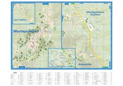
Montepulciano Map
217 miles away
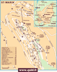
San Marino Map
Guide to the land locked country of San Marino
220 miles away
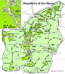
San Marino Road Map
Guide to the roads of San Marino, a country entirely surrounded by Italy
221 miles away
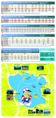
Lago Trasimeno Map
229 miles away
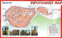
Panicale Tourist Map
Tourist map of small town of Panicale, Italy. Shows major buildings. In Italian. Scanned.
233 miles away
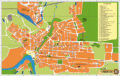
Umbertide Tourist Map
Tourist map of Umbertide, Italy. Shows major buildings and points of interest are labeled. In...
233 miles away
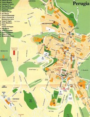
Perugia Tourist Map
Tourist map of central Perugia, Italy, the capital of Umbria. Shows points of interest and hotels...
242 miles away
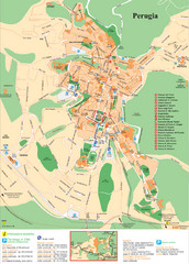
Perugia Tourist Map
Tourist map of Perugia, Italy. Shows points of interest.
242 miles away
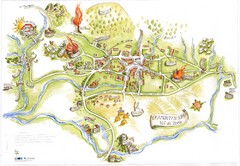
Tramonti di Sopra Tourist Map
Tourist map of town and surrounding area of Tramonti di Sopra, Italy. Drawing shows streets...
242 miles away
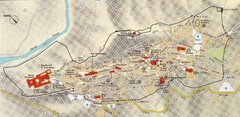
Assisi Tourist Map
Tourist map of Assisi, Italy
253 miles away
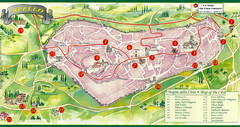
Spello Tourist Map
Tourist map of city of Spello, Italy. Shows points of interest. In English and Italian.
258 miles away
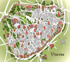
Viterbo Tourist Map
Tourist map of central Viterno, Italy.
260 miles away

