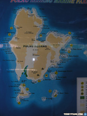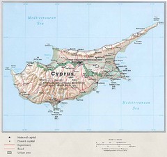
Cyprus Country Map
3089 miles away
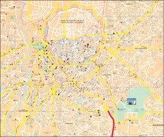
Nicosia Tourist Map
Tourist map of central Nicosia, Cyprus. Shows points of interest. Also shows line of Turkish...
3093 miles away
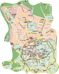
Nicosia Tourist Map (Turkish side)
Tourist map of the Turkish side of Nicosia (Lefkosa) on the island of Cyprus. Shows points of...
3094 miles away
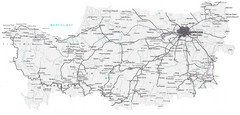
Cyprus Lefkosia Region Map
Map of Cyprus and the Lefkosia region
3098 miles away
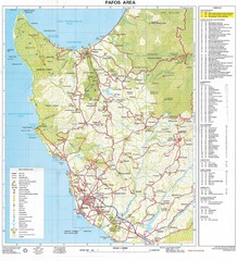
Paphos Area Tourist Map
Tourist map of Paphos (Pafos) area of Cyprus
3106 miles away
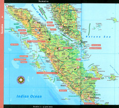
Sumatra Overview Map
Detailed map of island of Sumatra, Indonesia. Scanned.
3117 miles away
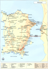
Penang Island Map
3148 miles away
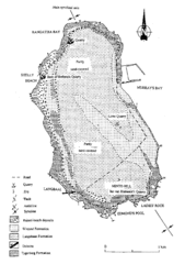
Robben Island Geological Map
3150 miles away
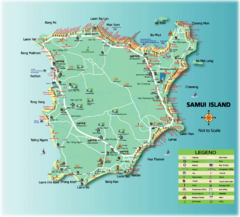
Samui Tourist Map
Tourist map of island of Samui, Thailand. Shows points of interest.
3197 miles away
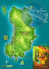
Koh Tao Tourist Map
An island famous for its diving
3198 miles away
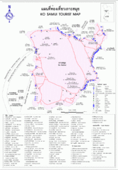
Koh Samui Island Tourist Map
3198 miles away
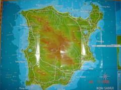
Ko Samui Tourist Map
Tourist map of island of Koh Samui, Thailand. From photo with pen on top.
3198 miles away
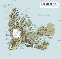
French Southern Territories Map
Physical map of French Southern and Antarctic Lands.
3211 miles away
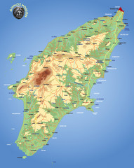
Rhodes Physical Map
Shaded physical map of island of Rhodes, Greece.
3325 miles away
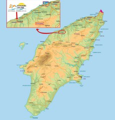
Rhodes Map
3328 miles away
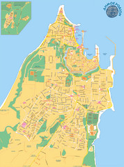
Rhodes City Map
City street map of city of Rhodes, Greece on the Greek island of Rhodes.
3332 miles away
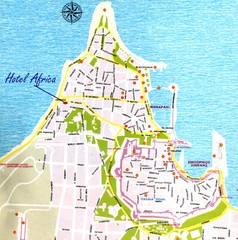
Rhodes City Map
City map of Rhodes, Greece. In Greek.
3332 miles away
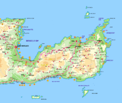
Lassithi Map
3343 miles away
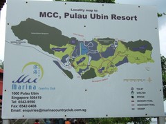
Pulao Ubin Island Trail Map
Trail map of Pulao Ubin Island, Singapore. Shows trails and facilities. From photo of sign.
3357 miles away
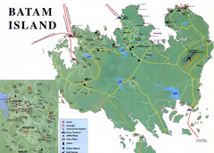
Batam Tourist Map
Tourist map of Batam island, Indonesia. Shows all ferry terminals, airport, and other useful info...
3359 miles away
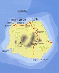
Nissyros Island Map
Overview map of the island of Nissyros (Nisiros), Greece.
3377 miles away
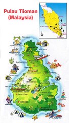
Tioman Island Map
3384 miles away
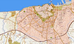
Heraklion Street Map
Street map of Heraklion (Iraklio), Greece on island of Crete. Shows all points of interest. In...
3385 miles away
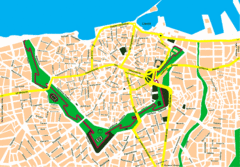
Irakleio Crete City Map
City map of Iraklio, Crete.
3386 miles away
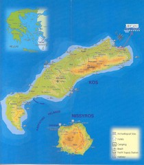
Kos Island Map
3386 miles away
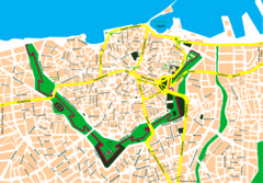
Heraklion City Map
City map of central Heraklion, Crete.
3386 miles away
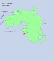
Bintan Island Map
Overview map of Bintan Island
3389 miles away

Crete Map
3390 miles away
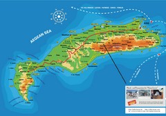
Kos Island Tourist Map
Tourist map of Kos Island
3390 miles away

Crete Tourist Map
Tourist map of island of Crete, Greece. Shows points of interest.
3392 miles away
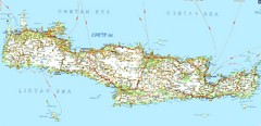
Crete Road Map
3393 miles away
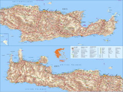
Crete Island Road Map
3393 miles away

Bailan Bay Beach Tourist Map
3398 miles away
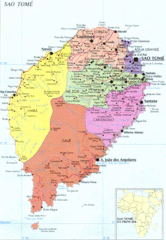
Sao Tome Political Map
Political map of island of São Tomé, lying on the equator off the west coast of...
3408 miles away
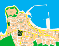
Rethymno City Map
City map of central Rethymno, Crete
3412 miles away
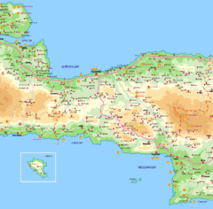
Rethymno Map
3418 miles away
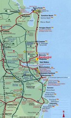
Santorini, Greece Beach Tourist Map
3428 miles away
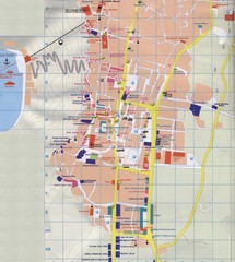
Fira Tourist Map
Tourist map of town of Fira, Santorini, Greece
3430 miles away
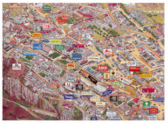
Thira Santorini Tourist Map
Birds-eye view tourist map of Thira (Fira), Santorini, Greece. Shows logos of local businesses.
3430 miles away

