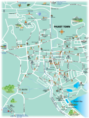
Phuket Town Tourist Map
Tourist map of town of Phuket, Thailand. Shows points of interest.
1559 miles away
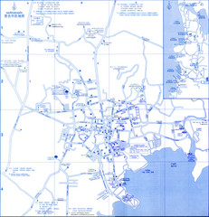
Phuket Map
Map of Phuket, Thailand's largest island. In Thai.
1560 miles away
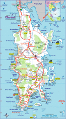
Phuket Island Tourist Map
1561 miles away
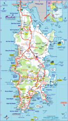
Phuket Island Tourist Map
Tourist map of Phuket Island, Thailand. Shows points of interest.
1561 miles away
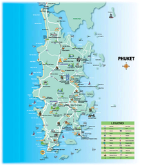
Phuket Tourist Map
Tourist map of island of Phuket, Thailand. Shows points of interest.
1562 miles away
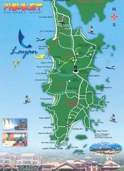
Phuket Island Tourist Map
1562 miles away
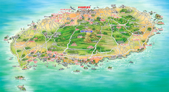
Jeju Tourist Map
Tourist map of island of Jeju, Korea. Shows points of interest. In Korean.
1595 miles away
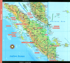
Sumatra Overview Map
Detailed map of island of Sumatra, Indonesia. Scanned.
1596 miles away
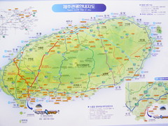
Jeju Tourist Map
Tourist map of Cheju (Jeju) Island, South Korea. The honeymoon island. From photo.
1597 miles away
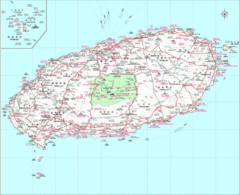
Jejudo Map
Reference map of Jejudo Island, South Korea. The largest island in Korea.
1598 miles away
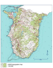
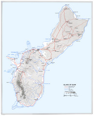
Guam Topo Map - South
Topo map of southern portion of island of Guam. 1:50,000 scale.
1609 miles away
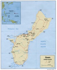
Guam Tourist Map
1615 miles away
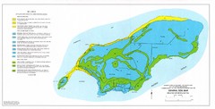
Island of Rota Soil Map
1647 miles away
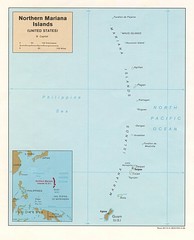
Northern Mariana Islands Map
Guide to the Northern Mariana Islands, a commonwealth of the United States
1679 miles away
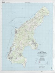
Island of Saipan Toopgraphic Map
1690 miles away
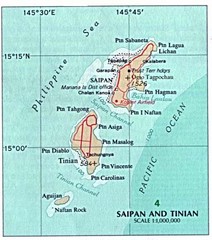
Saipan and Tinian Islands Tourist Map
1691 miles away
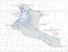
Kiritimati (Christmas) Island Tourist Map
1812 miles away
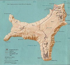
Christmas Island Tourist Map
1817 miles away
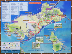
Yeongjong Island Tourist Map
Tourist map of Yeongjong Island, South Korea, off the coast of Incheon, South Korea. Also shows...
1872 miles away
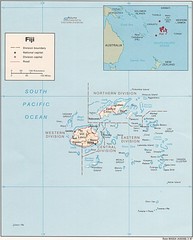
Fiji Tourist Map
1880 miles away
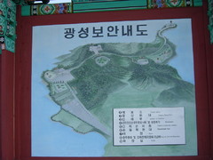
Ganghwa Island Map
From photo of sign. In Korean.
1888 miles away
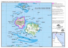
Badu Island Land Use Map
Land use agreement map on Badu Island in the Torres Strait.
2055 miles away
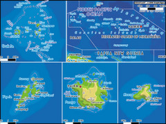
Micronesia Islands Map
Map of Micronesia region with detail of collection of islands
2114 miles away
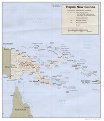
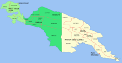
Papua New Guinea Map
2216 miles away
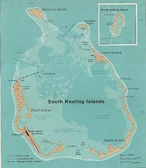
Cocos (Keeling) Islands Map
Guide to the Cocos (Keeling) Islands, a territory of Australia. They contain 2 atolls and 27 coral...
2299 miles away
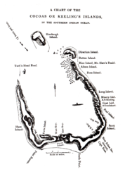
1840 Cocos (Keeling) Islands Map
1840 Guide to the Cocos (Keeling) Islands, a territory of Australia in the Indian Ocean
2299 miles away
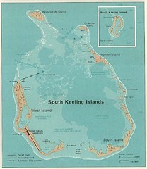
South Keeling (Cocos) Island Tourist Map
2300 miles away

Dirk Hartog Island Map
2594 miles away

Osakana Fish Map
Map of Osakana, Japan shows all native fish. In Japanese.
2616 miles away
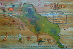
Dunk Island Tourist Map
Tourist map of Dunk Island and Family Islands National Park. Shows trails, reefs, and other islands...
2628 miles away
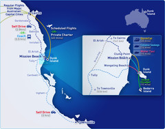
Dunk Island Resort - Great Barrier Reef...
Map of Dunk Island. Dunk Island resort is located in Queensland on the Great Barrier Reef.
2628 miles away
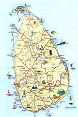
Sri Lanka Tourist Map
2754 miles away
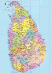
Sri Lanka Political Map
2770 miles away
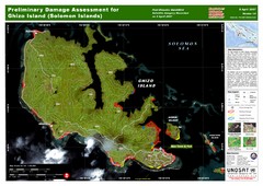
Ghizo Island Damage Map
Solomon Islands: Preliminary Damage Assessment for Ghizo Island (as of 8 Apr 2007)
2787 miles away
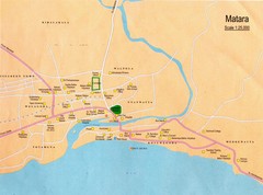
Matara City Map
City map of Matara, Sri lanka.
2789 miles away
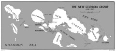
New Georgia Islands Map
2825 miles away
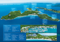
Hamilton Island, Australia Map
2874 miles away
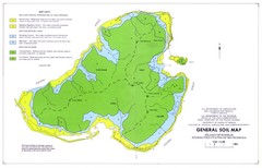
Kosrae Island Soil Map
General soil map of Kosrae Island
2894 miles away

