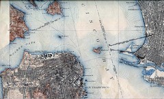
San Francisco Map 1915
416 miles away
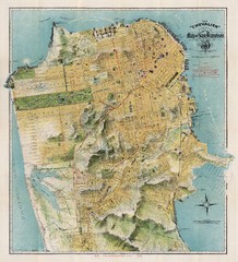
Chevalier map of San Francisco (1912)
Breathtaking map of San Francisco in 1912 by August Chevalier from the BIG Map Blog by way of DRMC.
416 miles away
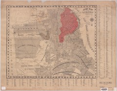
1907 San Francisco Earthquake Map
Map of areas destroyed by fire after 1906 earthquake
417 miles away
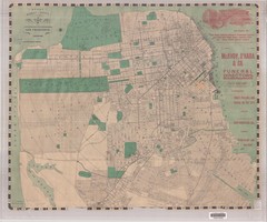
1905 San Francisco Street Map
Pre earthquake map of San Francisco, with several types of street cars and turnaround locations
418 miles away
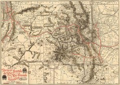
Denver and Rio Grande and Rio Grande Western...
Shows the Denver & Rio Grande and Rio Grande Western railroad system map circa 1904
450 miles away
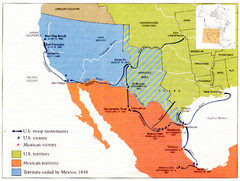
Mexican War Historical Map
503 miles away
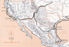
Mexican War Historical Map
503 miles away
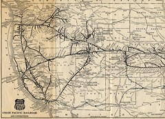
1925 Union Pacific Railroad Map Part 1
Guide to the Union Pacific railroad lines across the western half of the United States
511 miles away
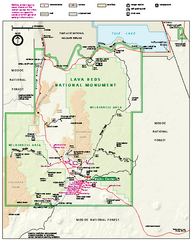
Lava Beds National Monument official park map
Official park map of Lava Beds National Monument. Shows trails, roads, cave entrances, and lava...
516 miles away
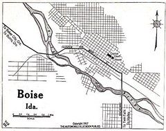
Boise Idaho 1917 Map
518 miles away
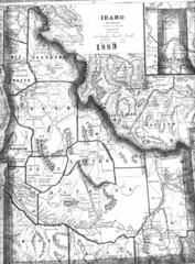
Idaho 1883 Map
547 miles away
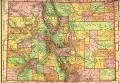
Colorado State map 1895
Map of the state of Colorado, 1895. Shows counties and major topography.
561 miles away

Oregon Trail Historical Map
571 miles away
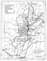
Grand Teton National Park, 1946 Map
579 miles away
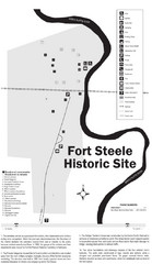
Fort Fred Steele State Historic Site Map
This frontier Army post has a fascinating history interlacing transportation with the military and...
587 miles away
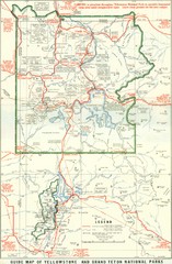
1929 Yellowstone and Grand Teton National Parks...
Map of older smaller boundaries of both national parks
616 miles away
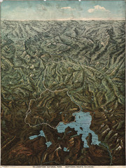
Fee’s map of Yellowstone National Park...
Charles S. Fee's map of Yellowstone in 1895.
632 miles away
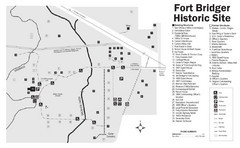
Fort Bridger State Historic Site Map
Established by Jim Bridger and Louis Vasquez in 1843 as an emigrant supply stop along the Oregon...
635 miles away
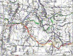
Oregon Trail Map
Old sketch map with modern cities, forts/ trading posts, and missions/churches superimposed. Shows...
636 miles away
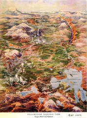
Detail of Yellowstone National Park, 1910 Map
Detail of Yellowstone National Park showing the Oregon Short Line Railroad, 1910
642 miles away
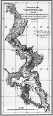
1871 Yellowstone River and Lake Map
Historic guide to the Yellowstone River and Lake in Yellostone National Park
642 miles away
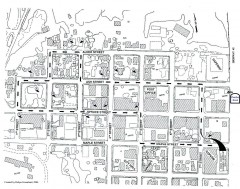
Myrtle Point walking tour Map
Walking tour map of the Historic homes of Myrtle Point in the Coquille Valley of Oregon.
674 miles away
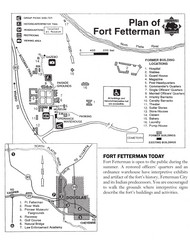
Fort Fetterman State Historic Site Map
Fort Fetterman, located approximately 11 miles northwest of Douglas. The fort was established as a...
686 miles away
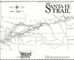
Santa Fe Trail Map
Historic map of the Santa Fe caravan trail
690 miles away
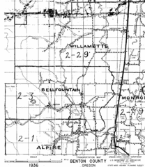
Transportaion for Benton County 1936 Map
1936 Map of Benton County, Oregon known as Muddy Area with counties, roads and towns marked
727 miles away
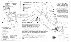
Fort Phil Kearny State Historic Site Map
Fort Phil Kearny State Historic Site is a National Historic Landmark located between Sheridan and...
729 miles away
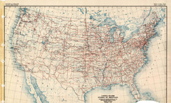
Highway Plan 1926 Map
752 miles away
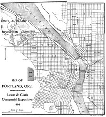
Portland, Oregon Map
Map of Portland, Oregon during centennial exposition of the Lewis & Clark Exploration...
756 miles away
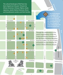
Old Town-China Town Map
Portland's oldest neighborhoods and history are easily seen in Old Town-China Town.
756 miles away

Little Big Horn Battlefield National Monument Map
Official NPS map of the Little Big Horn Battlefield National Monument. This area memorializes...
763 miles away
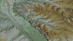
Custer Battlefield Oblique Map
764 miles away
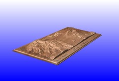
Mount St. Helens carved in wood by carvedmaps.com...
Mount St. Helens carved in wood by carvedmaps.com
783 miles away
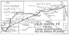
The Old Santa Fe Trail Map
798 miles away
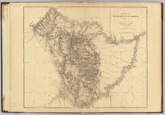
Black Hills Map
808 miles away
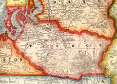
Pierce County Washington Map, 1909 Map
829 miles away
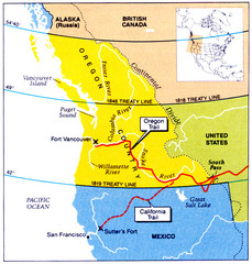
Oregon Treaty Historical map
842 miles away
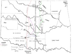
Cattle Trails Map
846 miles away
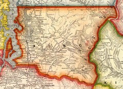
King County Washington, 1909 Map
856 miles away
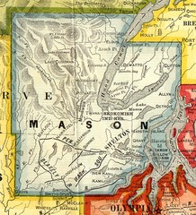
Mason County Washington, 1909 Map
858 miles away
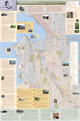
Duwamish River Community Map
This is a printed map, 32" X 40", created for the Duwamish River Cleanup Coalition in...
869 miles away

