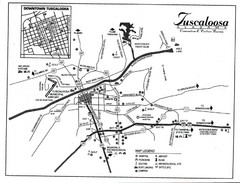
Tuscaloosa Map
0 miles away
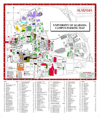
University of Alabama Map
less than 1 mile away
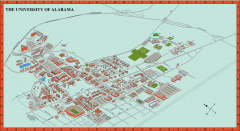
University of Alabama Map
University of Alabama Campus Map. All areas shown.
2 miles away
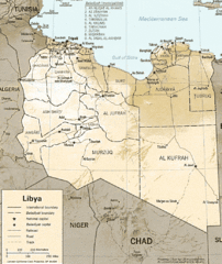
Lybia Map
Clear map and legend of this African Nation.
41 miles away
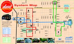
UAB and Area 5 Dart Sysetm Map
46 miles away
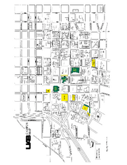
University of Alabama at Birmingham Map
University of Alabama at Birmingham Campus Map. All buildings shown.
47 miles away
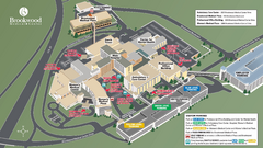
Brookwood Medical Center Map
47 miles away
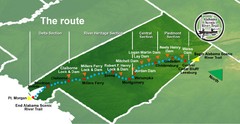
Alabama Scenic River Trail Map
631 miles of riverway. Starts in northeastern Alabama's mountains, flows through 9 lakes and...
72 miles away
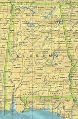
Alabama Map
County boundaries and names, county seats, rivers. Original scale 1:2,500,000 U.S. Geological...
72 miles away
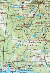
Alabama Reference Map
72 miles away
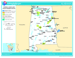
Alabama Federal Lands and Indian Reservations Map
72 miles away

Alabama Relief Map
72 miles away
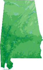
Alabama Topography Map
72 miles away
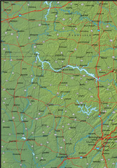
Alabama Area Map
72 miles away
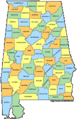
Alabama Counties Map
72 miles away
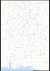
Alabama Zip Code Map
Check out this Zip code map and every other state and county zip code map zipcodeguy.com.
72 miles away
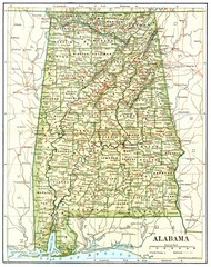
1891 Alabama Map
High quality 1891 Alabama map marking many cities and towns.
72 miles away
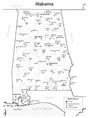
Alabama Aiports Map
72 miles away
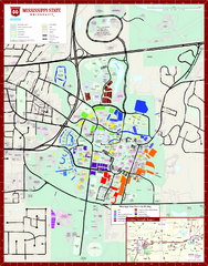
Mississippi State University Map
76 miles away
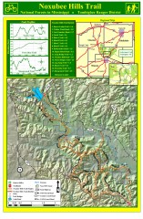
Noxubee Hills Trail Map
Shows singletrack and doubletrack trails in the Noxubee Hill trail system in Tombigbee National...
90 miles away
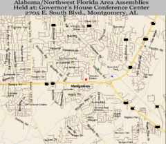
Montgomery, Alabama City Map
92 miles away
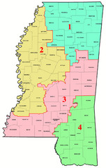
Mississippi Congressional Map
93 miles away
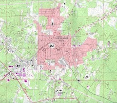
Alexander City Map
Topography city map of Alexander City, Alabama
94 miles away
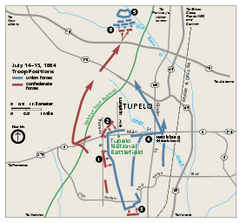
Tupelo National Battlefield Official Map
Official NPS map of Tupelo National Battlefield in Mississippi. Tupelo National Battlefield (NB...
100 miles away
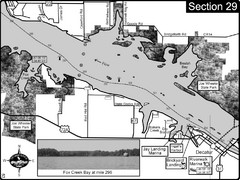
Decatur, AL Tennessee River/Wheeler Lake Map
For boating navigational information and river road travel along the Tennessee River. This section...
102 miles away
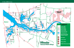
Wheeler National Wildlife Refuge Map
Map of Wheeler National Wildlife Refuge. Includes all roads, hiking trails, camp grounds and...
105 miles away
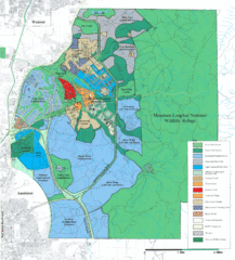
Mcclellan Land Use Map
"When the last note of taps played and the garrison flag was lowered at Fort McClellan in...
105 miles away
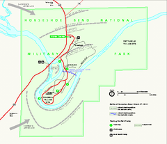
Horseshoe Bend National Military Park Official Map
Official NPS map of Horseshoe Bend National Military Park in Alabama. Horseshoe Bend National...
106 miles away
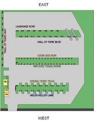
Heritage Acres RV Park Map
Map of Heritage Acres RV Park in Tuscumbia, Alabama showing lots and roos. Rows are named after...
106 miles away
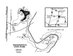
Tishomingo State Park, Mississippi Map
This map unfortunately does not adequately represent this park which is in one of the few areas of...
107 miles away
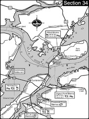
Guntersville, AL Tennessee River/Lake...
For boating navigational information and river road travel along the Tennessee River. This section...
108 miles away
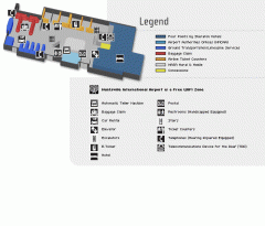
Huntsville International Airport Map
Official Map of Huntsville International Airport in Wisconsin. Shows all terminals and facilities.
108 miles away
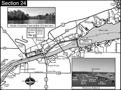
Florence, AL Tennessee River Map
For boating navigational information and river road travel along the Tennessee River. This map...
109 miles away
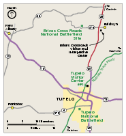
Brices Cross Roads National Battlefield Site...
Official NPS map of Brices Cross Roads National Battlefield Site in Mississippi. The grounds of the...
111 miles away
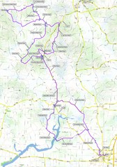
Salem Backroads Century Course Map
Route map for Salem Backroads Century bike race.
115 miles away
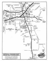
Huntsville City Map
City map of Huntsville, Alabama
117 miles away
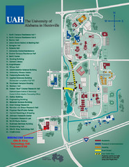
University of Alabama in Huntsville Map
Campus Map
117 miles away
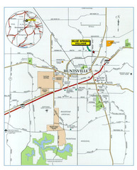
Huntsville, Alabama City Map
119 miles away
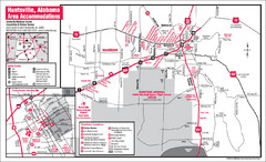
Huntsville Alabama Tourist Map
Map of Huntsville, Alabama showing hotels and streets for the downtown area.
119 miles away

