Utah maps
Top Contributors..
Claim the World, Map by Map
Claim a country by adding the most maps.Celebrate your territory with a Leader’s Boast.
Become World Leader by claiming the most!
Utah Cities by Map Count..
- 17Timber Lakes maps
- 13Park City maps
- 11Alta maps
- 4Provo maps
- 4Salt Lake City maps
- 3Heber maps
- 3Ogden maps
- 2Bryce Canyon maps
- 2Escalante maps
- 2Huntsville maps
- 2Midway maps
- 2Moab maps
- 2Vernal maps
- 1Antimony map
- 1Beaver map
- 1Brian Head map
- 1Cedar Hills map
- 1Centerfield map
- 1Duchesne map
- 1Farmington map
- 1Ferron map
- 1Henrieville map
- 1Huntington map
- 1Laketown map
- 1Liberty map
- 1Little Cottonwood Creek Valley map
- 1Logan map
- 1Moroni map
- 1Mount Olympus map
- 1Orangeville map
- 1Orem map
- 1Peoa map
- 1Roy map
- 1Saint George map
- 1Scofield map
- 1Sutherland map
- 1Taylorsville map
- 1Tropic map
- 1Uintah map
- 1Wellsville map
- 1Wendover map
- 1Willard map
Related Info
Utah Keywords
Utah Maps
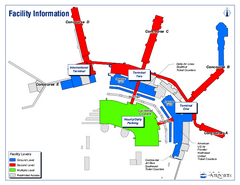
Salt Lake City International Airport Terminal...
Official Terminal Map of Salt Lake City International Airport. Shows all terminals and...

Salt Lake City Tourist Map
Tourist map of Salt Lake City, Utah. Shows points of interest.
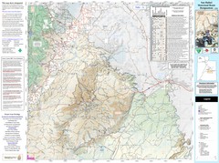
San Rafael, Utah Trail Map
Trails and main roads near Manti-LaSal National Forest and Castle Dale in Emery County, Utah
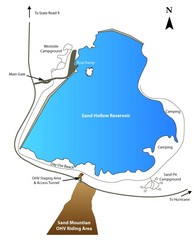
Sand Hollow State Park Map
With its warm, blue waters and red sandstone landscape, Utah's newest state park is also...
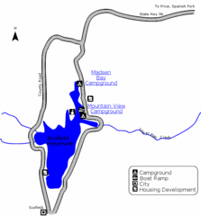
Scofield State Park Map
Camp, boat, and fish at this summer and winter recreation destination situated high in the...
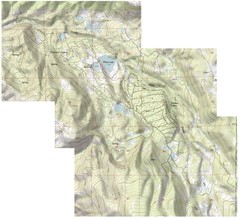
Shaded Relief Timber Lakes Estates Map
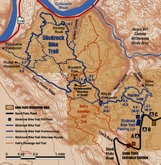
Slickrock Trail Map
Trail map of the famous Slickrock mountain biking trail in Moab, Utah. Trail distances shown...
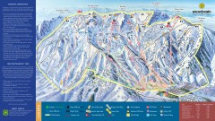
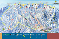
Snowbasin Ski Trail Map
Official ski trail map of ski area from the 2007-2008 season.
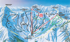
Snowbird Ski and Summer Resort Mineral Basin...
Trail map from Snowbird Ski and Summer Resort.
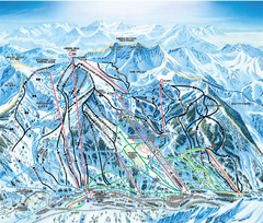
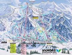
Snowbird Ski and Summer Resort Ski Trail Map
Trail map from Snowbird Ski and Summer Resort.
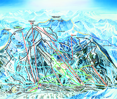
Snowbird Ski Trail map
Official ski trail map of Snowbird ski area from the 2006-2007 season.
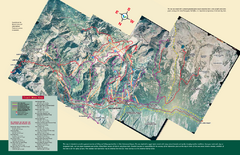
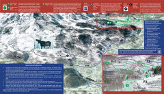
Snowbird/Alta area Summer Mountain Biking...
Map showing all hiking and mountain biking trails in the Alta/Snowbird area.
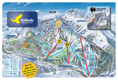
Solitude Mountain Resort Ski Trail Map
Trail map from Solitude Mountain Resort.
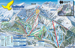
Solitude Mountain Ski Map
Clearly marked trails on this easy to read map and legend.
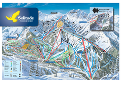
Solitude Ski Trail Map
Official ski trail map of Solitude Mountain Resort ski area from the 2007-2008 season.
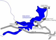
Starvation State Park Map
The sprawling waters of Starvation Reservoir offer great fishing and boating. Find a secluded...
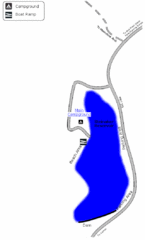
Steinaker State Park Map
Fish for rainbow trout and largemouth bass, and enjoy sandy beaches, swim, boat, and waterski...


 Maps contributed
 Big Map
  Gallery