Minnesota maps
Top Contributors..
Claim the World, Map by Map
Claim a country by adding the most maps.Celebrate your territory with a Leader’s Boast.
Become World Leader by claiming the most!
Minnesota Cities by Map Count..
- 1Kimball map
- 1Le Roy map
- 1Little Falls map
- 1Luverne map
- 1Marshall map
- 1Medicine Lake map
- 1Minnesota City map
- 1Morris map
- 1Nerstrand map
- 1New Ulm map
- 1Oliver map
- 1Osakis map
- 1Owatonna map
- 1Park Rapids map
- 1Plainview map
- 1Richfield map
- 1Silver Bay map
- 1South Saint Paul map
- 1Spicer map
- 1Sunburg map
- 1Tofte map
- 1Tower map
- 1Wabasha map
- 1Wahkon map
- 1Waskish map
- 1Waterville map
- 1Watson map
- 1Welch map
Related Info
Minnesota Keywords
Minnesota Maps
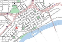
St. Paul, Minnesota City Map
Superior National Park Map
Park Map in Minnesota. Does not include road or highway names
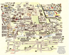
Taylors Falls Restaurant Map
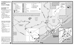
Temperance River State Park Map
map of park with detail of trails and recreation zones
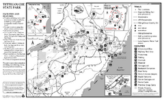
Tettegouche State Park Map
map of park with detail of trails and recreation zones

Twin Cities Campus Map
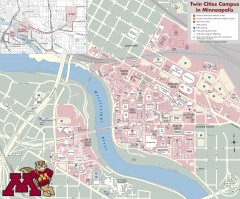
University Minnesota - Twin Cities Map
Campus map of University of Minnesota, Twin Cities. Shows all buildings.
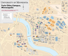
University of Minnesota Campus Map
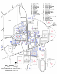
University of Minnesota Morris Campus Map
University of Minnesota Morris Campus map. Description off all buildings, streets and parking...
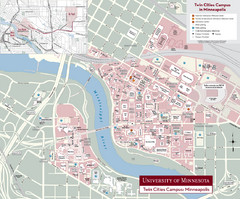
University of Minnesota, Twin Cities Campus Map
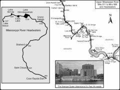
Upper Mississippi River Mile 811 to Mile 1347...
Historical Map from book "Mississippi River-Historical Sites and Interesting Places
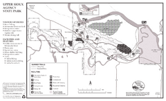
Upper Sioux Agency State Park Summer Map
Summer seasonal map of park with detail of trails and recreation zones
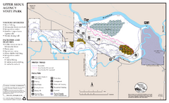
Upper Sioux Agency State Park Winter Map
Winter seasonal map of park with detail of trails and recreation zone
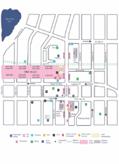
Uptown Art Walk, Minneapolis - St. Paul...
Val Chatel Ski Trail Map
Trail map from Val Chatel, which provides downhill and nordic skiing. This ski area opened in...
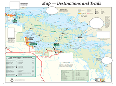
Voyageurs National Park Official Park Map
Official NPS map of Voyageurs National Park in Minnesota. Map shows all areas and hiking trails...
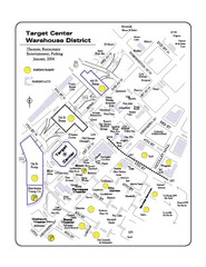
Warehouse District, Minneapolis Map
Tourist map of the Warehouse District in Minneapolis, Minnesota. Shows theaters, restaurants...
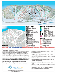
Welch Village Ski Area Ski Trail Map
Trail map from Welch Village Ski Area, which provides downhill, night, and terrain park skiing...


 Maps contributed
 Big Map
  Gallery