Massachusetts maps


 Maps contributed
9
FadedMemory
The Massachusetts Leader says: “You learn something new every day... remembering it is the hard part.”
Top Contributors..
Claim the World, Map by Map
Claim a country by adding the most maps.Celebrate your territory with a Leader’s Boast.
Become World Leader by claiming the most!
Massachusetts Cities by Name..
- 1Wales map
- 1Warwick map
- 3Wellesley maps
- 0Wellesley Hills maps
- 2Wellfleet maps
- 1Wendell map
- 1West Springfield map
- 0West Tisbury maps
- 1West Townsend map
- 1Westford map
- 1Westminster map
- 2Whitinsville maps
- 2Williamsburg maps
- 1Williamstown map
- 1Winchester map
- 1Worcester map
- 1Wrentham map
- 0Yarmouth Port maps
- 0Yarmouth Port maps
Related Info
Massachusetts Keywords
Massachusetts Maps
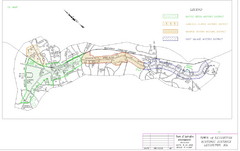
Town of Lexington Historic Districts Map
Identifies the 4 historical districts of Lexington, Massachusetts.
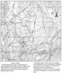
Trout Brook Conservation Area Map
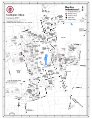
University of Massachusetts - Amherst Map
Campus Map of the University of Massachusetts - Amherst. All buildings shown.
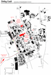
University of Massachusetts Amherst Parking Map
Map of the University of Massachusetts. Includes all buildings, streets, and parking...
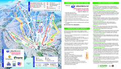
Wachusett Mountain Ski Trail Map
Trail map from Wachusett Mountain.
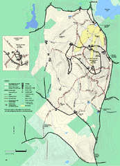
Wachusett Mountain State Reservation trail map
Trail map of Wachusett Mountain State Reservation in Massachusetts.
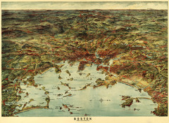
Walker's Map of Boston Harbor and Environs...
Walker's map of Boston Harbor and immediate environs from 1905.
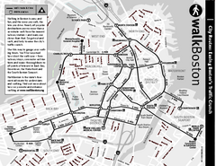
Walking Map of Boston, Massachusetts
Tourist map of Boston, Massachusetts, showing walking routes and times, as well as museums...
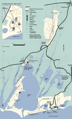
Waquoit Bay National Estuarine Research...
Trail map of Waquoit Bay National Estuarine Research Preserve in Massachusetts.
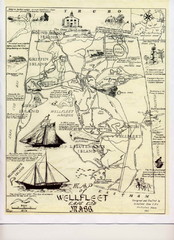
Wellfleet 1930s Tourist Map
A tourist map from the 1930s of Wellfeet, Massachusetts in Cape Cod. Courtesy of Cynthia...
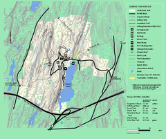
Wells State Park trail map
Trail map of Wells State Park in Massachusetts.
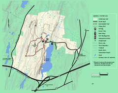
Wells State Park winter trail map
Winter use trail map of Wells State Park in Massachusetts.
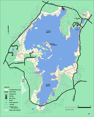
Whitehall State Park trail map
Trail map of Whitehall State Park in Massachusetts.
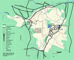
Willard Brook State Forest trail map
Trail map of Willard Brook State Forest in Massachusetts.
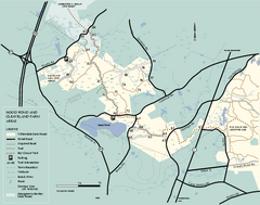
Willowdale State Forest map of Hood Pond
Trail map of the Hood Pond area of the Willowdale State Park in Massachusetts.

 Big Map
  Gallery