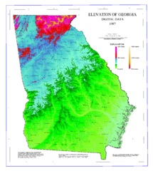
Georgia maps
Top Contributors..
Claim the World, Map by Map
Claim a country by adding the most maps.Celebrate your territory with a Leader’s Boast.
Become World Leader by claiming the most!
Georgia Cities by Name..
- 1Albany map
- 5Athens maps
- 8Atlanta maps
- 3Augusta maps
- 1Austell map
- 1Blakely map
- 1Carrollton map
- 1Cartersville map
- 1Chatsworth map
- 1Clayton map
- 2College Park maps
- 1Crawfordville map
- 1Decatur map
- 1Douglas map
- 3Dublin maps
- 1Eastman map
- 1Ellenton map
- 1Flovilla map
- 1Flowery Branch map
- 1Fort Gaines map
- 1Fort Oglethorpe map
- 1Hartwell map
- 3Helena maps
- 1Hephzibah map
- 1Hoboken map
- 1Jefferson map
- 1Kennesaw map
- 1Lithonia map
- 1Marietta map
- 1Milledgeville map
- 1Mitchell map
- 1Montgomery map
- 1Mount Carmel map
- 1Mountain City map
- 1North Druid Hills map
- 1Oakwood map
- 1Omaha map
- 1Perkins map
- 1Pine Mountain map
- 1Pinehurst map
- 1Reidsville map
- 1Rising Fawn map
- 1Rutledge map
- 1Savannah map
- 1Skidaway Island map
- 2Statesboro maps
- 1Stone Mountain map
- 1Summerville map
- 1Thunderbolt map
- 1Tifton map
Related Info
Georgia Keywords
Georgia Maps
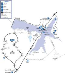
James H. Floyd State Park Map
Map of park with detail of trails and recreation zones
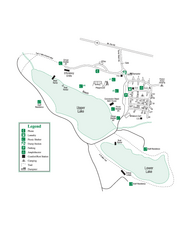
John Tanner State Park Map
Map of park with detail of trails and recreation zones
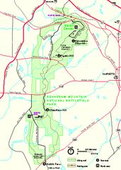
Kennesaw Mountain National Battlefield Park...
Official NPS map of Kennesaw Mountain National Battlefield Park in Georgia. We are a day use...
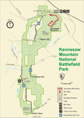
Kennesaw Moutain National Battlefield Park Map
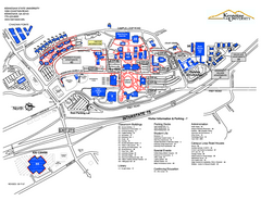
Kennesaw State University Map
Kennesaw State University Campus Map. All buildings shown.
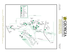
Kolomoki Mounds State Park Map
Map of park with detail of trails and recreation zones
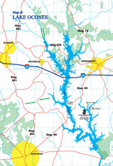
Lake Oconee Map
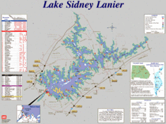
Lake Sidney Lanier Recreation Map
Recreation map of Lake Sidney Lanier in Georgia. Shows campgrounds, day use parks, marinas...
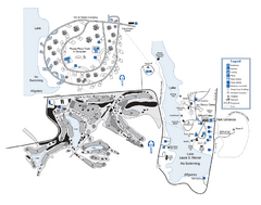
Laura S. Walker State Park Map
Map of park with detail of trails and recreation zones
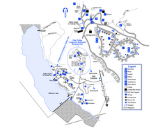
Little Ocmulgee State Park Map
Map of park with detail of trails and recreation zones
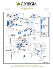
Magnolia Springs State Park Map
Map of park with detail of trails and recreation zones

MCG Health System--Medical College of Georgia...
Color-coded map of all buildings on the Medical College of Georgia associated with the MCG...
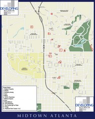
Midtown Atlanta Map
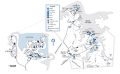
Mistletoe State Park Map
Map of park with detail of trails and recreation zones
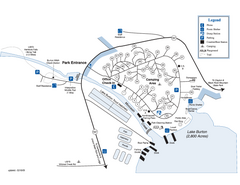
Moccasin Creek State Park Map
Map of park with detail of trails and recreation zones

Panola Mountain State Park Map
Map of park with detail of trails and recreation zones
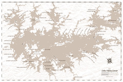
Pirate Map of Lake Sidney Lanier
Retro look pirate's map of Lake Sidney Lanier near Atlanta, Georgia
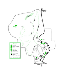
Providence Canyon State Park Map
Map of park with detail of trails and recreation zones
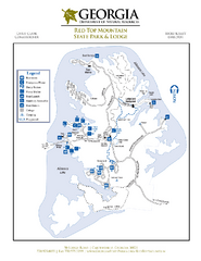
Red Top Mountain State Park Map
Map of park with detail of trails and recreation zones


 Maps contributed
 Big Map
  Gallery