California maps
Top Contributors..
-
65
FadedMemory
-
50

Mapophile
-
44

Brigid
-
29

nava
Claim the World, Map by Map
Claim a country by adding the most maps.Celebrate your territory with a Leader’s Boast.
Become World Leader by claiming the most!
California Cities by Map Count..
- 3Lafayette maps
- 3Lakehead maps
- 3Livermore maps
- 3Mountain Gate maps
- 3Novato maps
- 3Pauma Valley maps
- 3Pomona maps
- 3Saint Helena maps
- 3San Clemente maps
- 3San Rafael maps
- 3Sausalito maps
- 3Stanford maps
- 3Universal City maps
- 3Ventura maps
- 3Weaverville maps
- 3Yountville maps
- 2Aptos maps
- 2Arcadia maps
- 2Arnold maps
- 2Bear Valley maps
- 2Berry Creek maps
- 2Beverly Hills maps
- 2Big Bear City maps
- 2Big Sur maps
- 2Bodega Bay maps
- 2Camarillo maps
- 2Carpinteria maps
- 2Castro Valley maps
- 2Clayton maps
- 2Crescent City maps
- 2Daly City maps
- 2Dana Point maps
- 2Davis maps
- 2Del Mar maps
- 2El Segundo maps
- 2Encinitas maps
- 2Folsom maps
- 2Fort Bragg maps
- 2Glendale maps
- 2Goleta maps
- 2Grass Valley maps
- 2Hayward maps
- 2Hillsborough maps
- 2Homewood maps
- 2Huntington Beach maps
- 2June Lake maps
- 2Kelseyville maps
- 2Kensington maps
- 2Kenwood maps
- 2Kirkwood maps
Related Info
California Keywords
California Maps
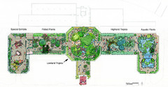
Conservatory of Flowers Museum Map
Map of the Conservatory of Flowers in Golden Gate Park, San Francisco, California
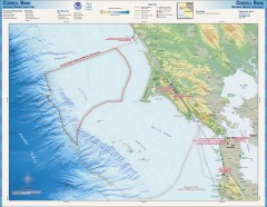
Cordell Bank National Marine Sanctuary Map
Topo and bathymetric map of the Cordell Bank National Marine Sanctuary, located 60 miles...

Crissy Field Map
Official NPS map of Crissy Field and vicinity in the Presidio of San Francisco, CA
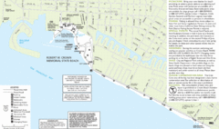
Crown Memorial State Beach Map
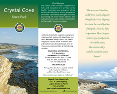
Crystal Cove State Park Map
Map of park with detail of trails and recreation zones
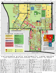
CSU Long Beach Campus Map
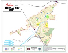
Culver City Map
General city map of Culver City, California. Shows the city boundary, schools, parks and other...
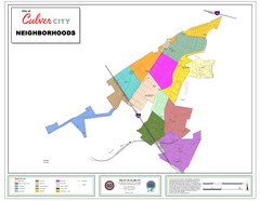
Culver City Neighborhood Map
Map shows official neighborhood zones of Culver City, California
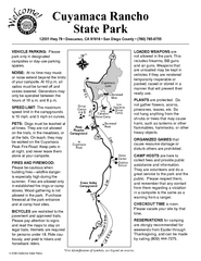
Cuyamaca Rancho State Park Campground Map
Map of park with detail of trails and recreation zones
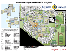
Cypress College Campus Map
Cypress College Campus Map. All buildings shown.
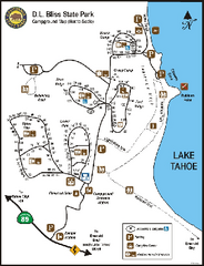
D.L. Bliss State Park Campground Map
Map of park with detail of trails and recreation zones
D.L. Bliss State Park Map
Map of park with detail of trails and recreation zones
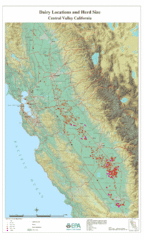
Dairy Locations and Herd Size for the Central...
Map of dairy locations, displayed by herd size in California's Central Valley. Base map...
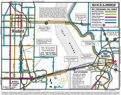
Davis, California BIke Map
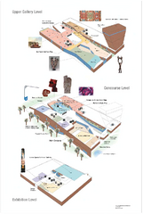
de Young Museum Map
Floorplan of the de Young Museum of Art in Golden Gate Park, San Francisco, California
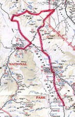
Death Valley Guide Map
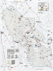
Death Valley National Park map
Official NPS map of Death Valley National Park. Shows all roads (paved and unpaved), 4 wheel...
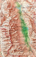
Death Valley National Park Map
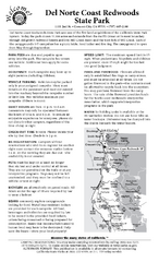
Del Norte Coast Redwoods State Park Campground...
Map of park with detail of trails and recreation zones


 Maps contributed
 Big Map
  Gallery