Puerto Vallarta Map
near Puerto Vallarta, Mexico
View Location
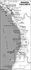
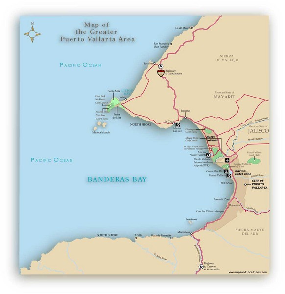
A JPG map of Puerto Vallarta. It shows the various developments in the larger area of Puerto Vallarta, Mexico. Puerto Vallarta is becoming a realtors paradise with large number of residential and commercial property projects dotting the great shore line. The map was made by Anu of www.mapsandlocations.com for RedGuide.com.
See more
 See more
Nearby Maps

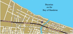
Bucerias, Mexico Tourist Beach Map
2 miles away
Near Bucerias, Mexico

Puerto Vallarta Map
12 miles away
Near mexico

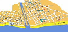
Puerto Vallarta, Mexico Beach Tourist Map
12 miles away
Near Puerto Vallarta, Mexico

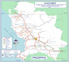
Nayarit Map
68 miles away
Near Nayarit

Jalisco State, Mexico Beach Tourist Map
103 miles away
Near Jalisco, Mexico

 click for
 Fullsize

0 Comments
New comments have been temporarily disabled.