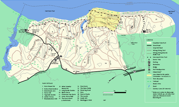
Maudslay State Park trail map
near newburyport, ma
See more
 See more
Nearby Maps

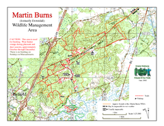
Downfall/Martin Burns WMA Map
4 miles away
Near newburyport ma

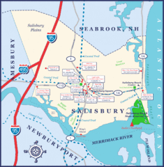
Salisbury Town Map
4 miles away
Near Salisbury, MA

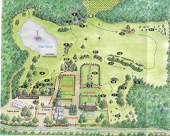
Newbury Perrenial Gardens Guide Map
5 miles away
Near 65 Orchard St, Byfield, MA

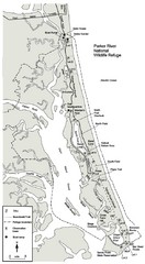
Parker River Map
Map of Parker River National Wildlife Refuge for birdlife
6 miles away
Near Parker River, MA

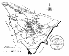
Hampton NH Map 1806
1806 map of Hampton, NH. Shows roads and settlements.
9 miles away
Near Hampton, NH

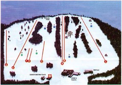
Ski Bradford Ski Trail Map
Trail map from Ski Bradford.
9 miles away
Near Haverhill, Massachusetts, United States

 click for
 Fullsize


0 Comments
New comments have been temporarily disabled.