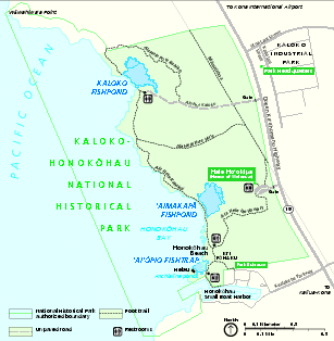
Kaloko-Honokohau National Historical Park Official Map
near Kailua-Kona, Hawaii 96740
View Location
Official NPS map of Kaloko-Honokohau National Historical Park in Hawaii. Map shows all areas. Hale Ho'okipa, the Visitor Contact Station, the Hawaii Natural History Association store, and the adjoining parking area are open from 8:30 am to 4:00 pm daily. The Kaloko road gate is open from 8:00 am to 5:00 pm daily.
Tweet
See an error? Report it.
Keywords
recreation, national park, historical park, park, museum, memorial, monument, trails, hawaii See more
 See more
Nearby Maps

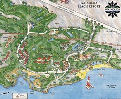
Waikoloa Beach Tourist Map
20 miles away
Near Waikoloa

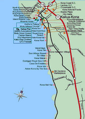
Kona, Hawaii Tourist Map
21 miles away
Near KOna, Hawaii

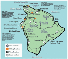
Big Island, Hawaii Tourist Map
21 miles away
Near Big Island, Hawaii

Hawaii Island Tourist Map
21 miles away
Near Hawaii

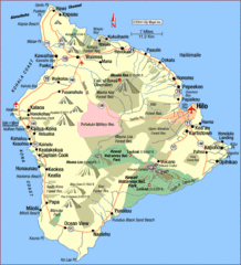
Hawaii Island Map
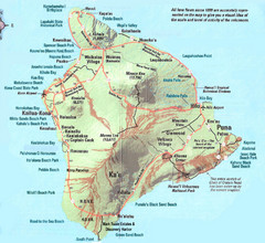
Detailed map of the entire island of Hawaii. Shows lava flows since 1800 and beach parks
22 miles away
Near Hawaii

 click for
 Fullsize


0 Comments
New comments have been temporarily disabled.