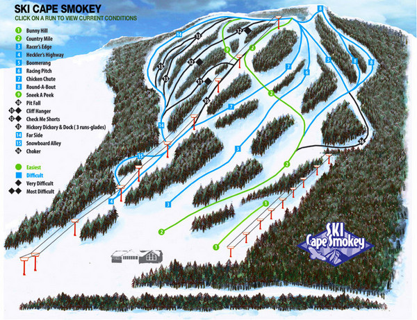
Cape Smokey Ski Lodge Ski Trail Map
View Location
Trail map from Cape Smokey Ski Lodge, which provides downhill skiing. This ski area has its own website.
See more
 See more
Nearby Maps

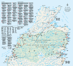
Cape Breton Highlands National Park Map
Official Parks Canada map of Cape Breton Highlands National Park, Nova Scotia. Shows hiking trails...
11 miles away
Near Cape Breton Highlands National Park, Nova Scotia

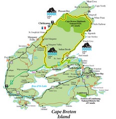
Cabot Trail Map
Map of famous Cabot Trail driving tour of Cape Breton Island, Nova Scotia. Part of the Cabot Trail...
25 miles away
Near Cape Breton Island, Nova Scotia

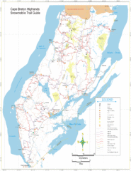
Cape Breton Highlands Snowmobile Trail Map
Trail distances in km
31 miles away
Near Cape Breton Highlands

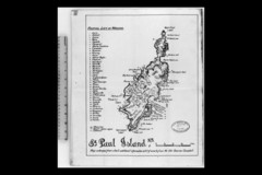
St Paul Island Wreck Map
Shipwreck map of St. Paul Island, Nova Scotia
42 miles away
Near St. Paul Island, Nova Scotia

 click for
 Fullsize

0 Comments
New comments have been temporarily disabled.