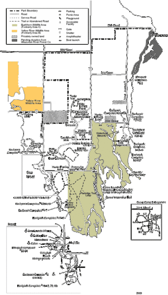
Buckhorn State Park Map
near Buckhorn State Park, Wisconsin, USA
See more
 See more
Nearby Maps

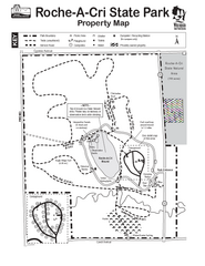
Roche A Cri State Park Map
Marked hiking trails for this State Park easily read on this map.
10 miles away
Near Roche A Cri, WI, USA

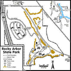
Rocky Arbor State Park Map
Detailed map of parking, water, ledges and boundaries for Rocky Arbor.
23 miles away
Near Rocky Arbor State Park, WI, USA

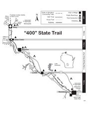
400 State Trail Map
Long and beautiful trail through Wisconsin's finest.
23 miles away
Near Wonewac, WI, USA

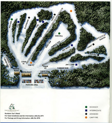
Christmas Mountain Village Ski Trail Map
Trail map from Christmas Mountain Village.
24 miles away
Near Wisconsin Dells, Wisconsin, United States

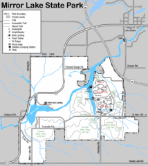
Mirror Lake State Park Map
Nice hiking routes around the lake.
28 miles away
Near Mirror Lake State Park, WI, USA

Devil's Lake State Park map
Detailed recreational map for Devil's Lake State Park in Wisconsin
39 miles away
Near Baraboo WI 53913-9299

 click for
 Fullsize

0 Comments
New comments have been temporarily disabled.