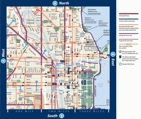
Biking in Downtown Chicago, Illinois Map
near Chicago, IL
View Location
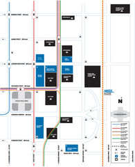
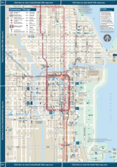
Map of bike lanes, bike trails, bike shops, public transportation, museums and other attractions in downtown Chicago, Illinois.
See more
 See more
Nearby Maps

DePaul University Loop Campus Map
less than 1 mile away
Near 55 e jackson chicago, il

Downtown Chicago Map
less than 1 mile away
Near Downtown Chicago, IL, USA

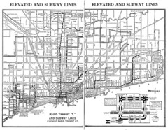
1944 Chicago "L" Elevated Train Map
System map of Chicago subway system
less than 1 mile away
Near Chicago, IL, US

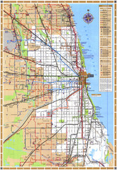
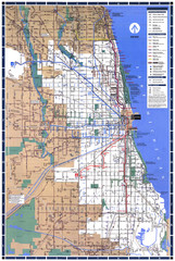
Chicago Train Map
Shows Chicago Transit Authority train routes in the Chicago area.
less than 1 mile away
Near Chicago, Illinois

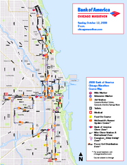
Chicago Marathon Course Map 2008
Official 2008 course map of the Chicago Marathon
less than 1 mile away
Near Chicago, Illinois

 click for
 Fullsize


0 Comments
New comments have been temporarily disabled.