
 Edit this map

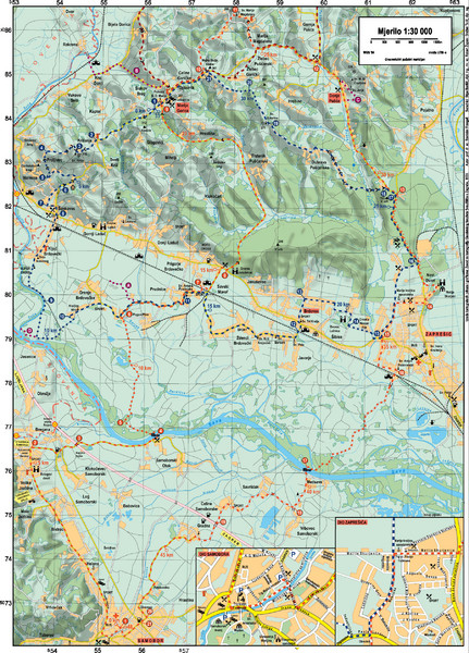
Sulta and Sava Croatia Cycling Route Map
near marija gorica
View Location
the trails on this map are through picturesque hills to the confluence of the Sutla and Sava Rivers. Note: The map is not in English.

 See more

Nearby Maps
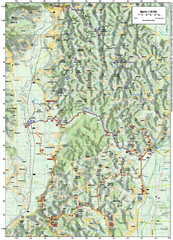
Villages and Sutla River Valley Bike Route Map
Bike routes and trails through the villages to the Sutla River Valley in Croatia. Note: The map...
5 miles away
Near Kupljenovo

Samobor Region Cycling Route Map
Cycling route map for region west of Samobor, Croatia. Shows all routes in km
10 miles away
Near Samobor, Croatia
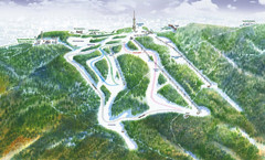
Medvednica Ski Trail Map
Trail map from Medvednica.
12 miles away
Near Medvednica, Stubičke Toplice, Croatia
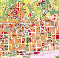
Zagreb Tourist Map
Tourist map of central Zagreb, Croatia. Shows major buildings.
14 miles away
Near Zagreb, Croatia
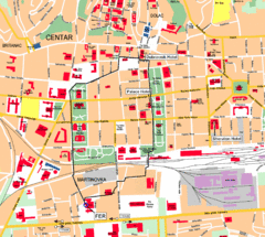
Zagreb Center Map
14 miles away
Near Zagreb, Croatia
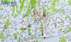
Zagreb Croatia Tourist Map
Zagreb City Centre Tourist map showing tourist attractions, hotels, tourist information and city...
14 miles away
Near Zagreb, Croatia

 See more


 Explore Maps
 Map Directory
 click for
 Fullsize


0 Comments
New comments have been temporarily disabled.