
 Edit this map

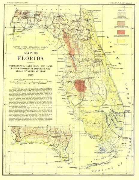
Topography of Florida Map
near florida
View Location
Topographic map of Florida that was developed in 1913. It shows the elevation changes that are consistent with a map of that kind, it also shows the types of bedrock and water flow from that time period.

 See more

Nearby Maps
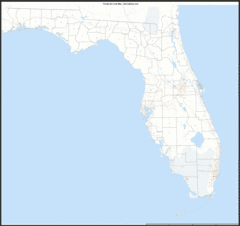
Florida Zip Code Map
Check out this Zip code map and every other state and county zip code map zipcodeguy.com.
less than 1 mile away
Near Florida
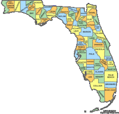
Florida Counties Map
less than 1 mile away
Near Florida
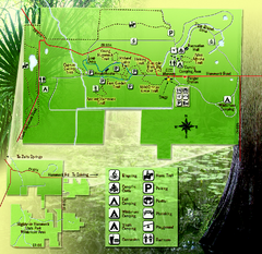
Highlands Hammock State Park Map
13 miles away
Near 5931 Hammock Road, Sebring, Florida
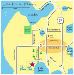
Lake Placide Town Map
27 miles away
Near Lake Placid, FL

Alafia River State Park Bike Trail Map
Map of park with detail of various bike trails throughout
38 miles away
Near 14326 South County Road 39, Lithia, Florida
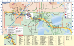
Travel Accommodations in Kissimmee, Florida Map
Map of accommodations in and around Kissimmee, Florida. Shows visitors centers, Disney World, and...
44 miles away
Near Kissimmee, FL

 See more


 Explore Maps
 Map Directory
 click for
 Fullsize


0 Comments
New comments have been temporarily disabled.