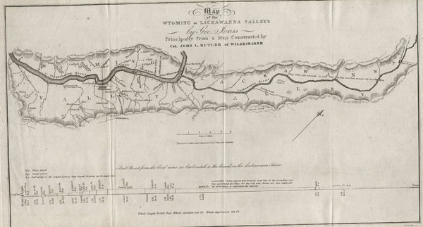
Wyoming and Lackawanna Valleys Map
near Lackawanna Valley, Wyoming
View Location
Railbed from the coal mine at Carbondale to the canal on the Lackawaxen River. Historical map.
See more
 See more
Nearby Maps

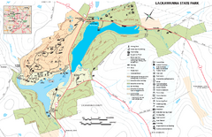
Lackawanna State Park Map
Detailed map of Lackawanna State Park in Pennsylvania.
10 miles away
Near Dalton, PA 18414-9785

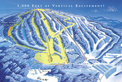
Elk Mountain Ski Trail Map
Trail map from Elk Mountain.
11 miles away
Near Union Dale, Pennsylvania, United States

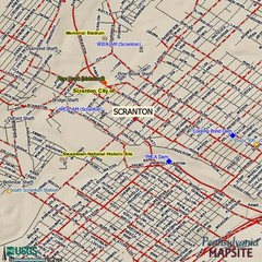
Scranton, Pennsylvania City Map
14 miles away
Near Scranton, Pennsylvania

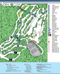
Sno Mountain Ski Trail Map
Official ski trail map of Sno Mountain ski area from the 2007-2008 season.
17 miles away
Near Montage Mountain Road, Scranton, PA

Tanglwood Ski Area Ski Trail Map
Trail map from Tanglwood Ski Area, which provides downhill, night, and terrain park skiing. It has...
20 miles away
Near Tafton, Pennsylvania, United States

Mount Tone Ski Trail Map
Trail map from Mount Tone.
22 miles away
Near Wallerville Rd, Lake Como, PA

 click for
 Fullsize


0 Comments
New comments have been temporarily disabled.