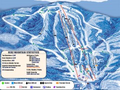
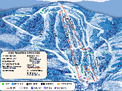
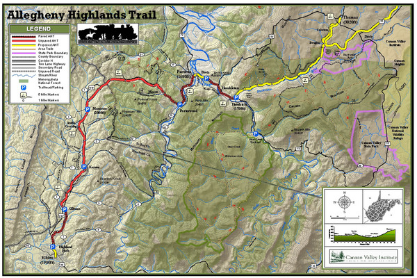
Trailmap72dpi Big Map
near Canaan Valley, Maryland, USA
See more

 See more
Nearby Maps

Timberline Ski Trail Map
Official ski trail map of Timberline ski area in West Virginia
13 miles away
Near Davis, WV

Timberline Ski Resort Ski Trail Map
Trail map from Timberline Ski Resort.
13 miles away
Near West Virginia, United States

Canaan Valley Resort Ski Trail Map
Trail map from Canaan Valley Resort.
15 miles away
Near Route 32, Davis, WV

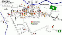
Beverly Historic District map
Tourist map of Historic Beverly of Randolph County, West Virginia.
21 miles away
Near beverly, west virginia

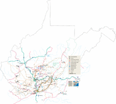
Southern West Virginia Tourist Map
Cities in the southern part of West Virginia.
29 miles away
Near West Virginia

 click for
 Fullsize


0 Comments
New comments have been temporarily disabled.