Edit this map

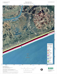
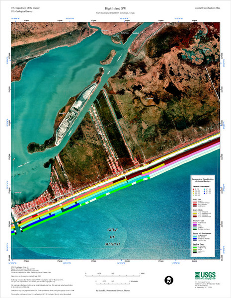
High Island Map

near Rollover Pass

View LocationView Map

29.5280602950643 -94.4680023193359 13 satellite
Nearest Map »  Fullsize
1500 × 1935965 KBJPG

Coastal classification map of High Island

Created 6/2005
From pubs.usgs.gov

landlubber added
Dec 13, 2008

Rating
no ratings

See an error? Report it.

Keywords

reference, island, coast

0 Comments

New comments have been temporarily disabled.
See more

Nearby Maps

High Island Map

High Island Map

5 miles away

Near High Island, Texas
Keywords: reference, coast, dune, beach
Galveston City Map

Galveston City Map

Street map of Galveston

26 miles away

Near Galveston, Texas
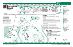
Galveston Island, Texas State Park Facility and...

Galveston Island, Texas State Park Facility and...

34 miles away

Near Galveston Island, Texas
Keywords: recreation
Empty Dangerous Structures Razed Map

Empty Dangerous Structures Razed Map

flood zone elevation

44 miles away

Near groves, tx
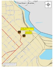
Downtown Beaumont Libraries Map

Downtown Beaumont Libraries Map

44 miles away

Near 801 Pearl St., City of Beaumont, TX, USA
Keywords: reference
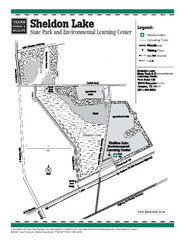
Sheldon Lake, Texas State Park Facility Map

Sheldon Lake, Texas State Park Facility Map

48 miles away

Near Sheldon Lake, Texas
See more