
 Edit this map

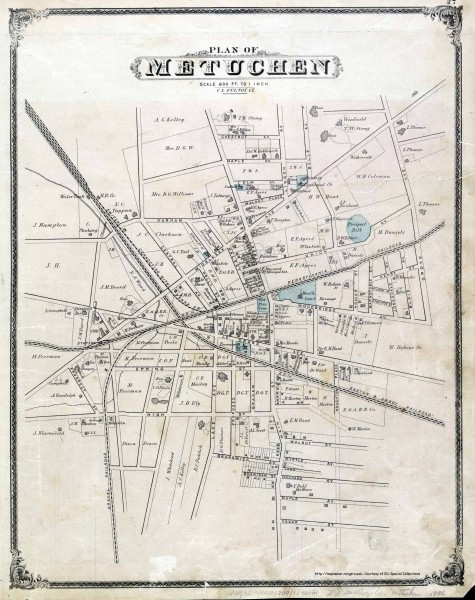
Antique map of Metuchen from 1876
near metuchen, nj

 See more

Nearby Maps
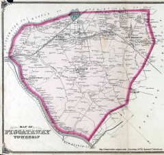
Antique map of Piscataway from 1876
Historic map of Piscataway, New Jersey from 1876.
6 miles away
Near piscataway, nj
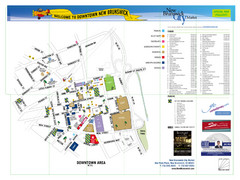
New Brunswick City Map
City map of New Brunswick, New Jersey with tourist information
6 miles away
Near New Brunswick, New Jersey
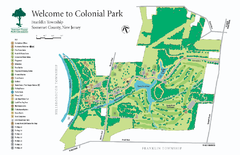
Colonial Park, Somerset, NJ Map
10 miles away
Near mettlars road somerset,new jersey
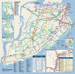
Staten Island Bus Map
Official Bus Map of Staten Island. Shows all routes.
11 miles away
Near Staten Island, NY

Staten Island Subway/Railway Map
11 miles away
Near Staten Island
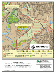
Staten Island Greenbelt Map
13 miles away
Near High Rock Park, Staten Island

 See more


 Explore Maps
 Map Directory
 click for
 Fullsize


0 Comments
New comments have been temporarily disabled.