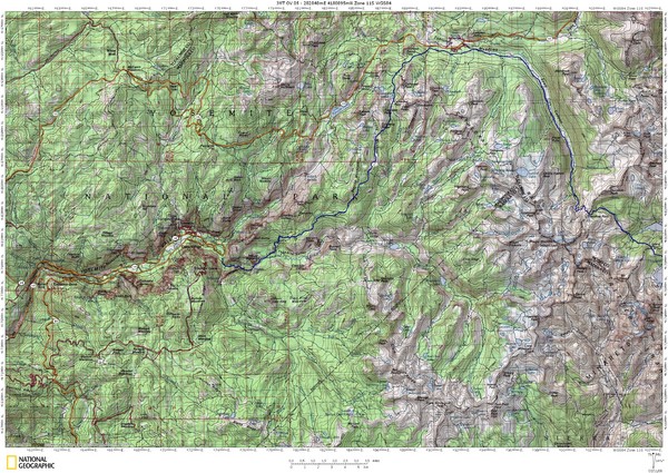
Island Pass to Yosemite Village Topo Map
near Yosemite Village
See more
 See more
Nearby Maps

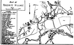
Yosemite Village Guide Map
0 miles away
Near Yosemite Village

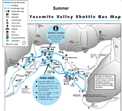
Yosemite Valley Shuttle Map
less than 1 mile away
Near Yosemite Valley

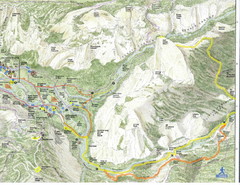
Half Dome view from Glacier Point Map
less than 1 mile away
Near glacier point yosemite

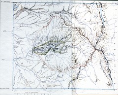
Proposed Yosemite National Park Map 1890
John Muir's map of proposed Yosemite National Park, California. Green is the original 1864...
1 mile away
Near Yosemite National Park, CA

Yosemite Valley Map
Map of the valley and key elevations
1 mile away
Near Yosemite National Park, CA, US

Yosemite Valley Trail Map
Trail map of hiking trails in Yosemite Valley, Yosemite National Park, California.
1 mile away
Near Yosemite Valley, Yosemite National Park, CA

 click for
 Fullsize


0 Comments
New comments have been temporarily disabled.