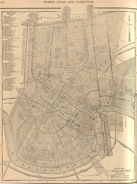
Antique map of New Orleans from 1908
near new orleans, louisiana
View Location
Antique map of New Orleans, Louisiana, from The New Encyclopedic Atlas and Gazetteer of the World. New York: P.F. Collier & Son, 1917
See more
 See more
Nearby Maps

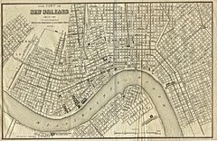
New Orleans 1873 Map
less than 1 mile away
Near New Orleans

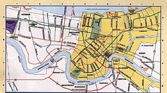
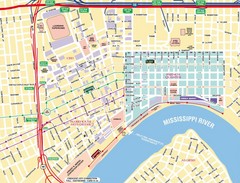
New Orleans Tourist Map
less than 1 mile away
Near New Orleans

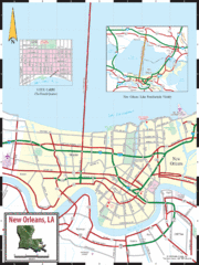
New Orleans Tourist Map
less than 1 mile away
Near New Orleans

New Orleans Tourist Map
less than 1 mile away
Near New Orleans

New Orleans Tourist Map
less than 1 mile away
Near New Orleans

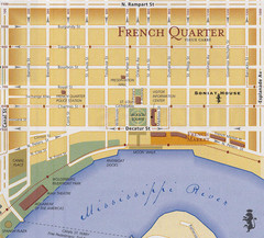
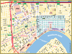
New Orleans French Quarter Street Map
Street map of New Orleans shows French Quarter, Arts/Warehouse District, Downtown/CBD.
less than 1 mile away
Near New Orleans, Louisiana

 click for
 Fullsize


1 Comments
Careful, this map (appears to) be missing some railroads, namely the Bayou St. John alignment, as well as the modern alignments, which by some sources were indeed existant then. Also, its streetcar lines may not be exact.