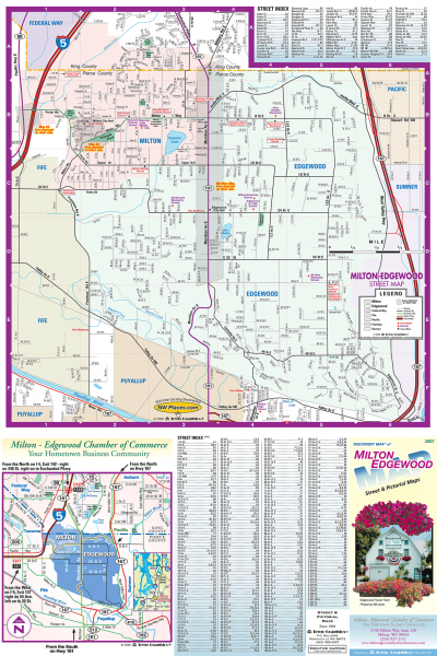
Milton and Edgewood tourist map
near edgewood, washington
See more

 See more
Nearby Maps

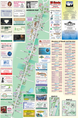
Milton tourist map
Tourist map of Milton, Washington. Shows all businesses.
1 mile away
Near milton, washington

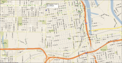
Tacoma, Washington City Map
7 miles away
Near Tacoma, WA

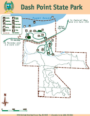
Dash Point State Park Map
Map of park with detail of trails and recreation zones
7 miles away
Near 5700 S.W. Dash Point Road, Federal Way, WA 98023

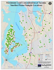
Tacoma Lead Concentration Map
A map of maximum lead concentrations near Tacoma.
11 miles away
Near Tacoma, Washington

Des Moines Washington tourist map
Tourist map of Des Moines, Washington, including Kent and SeaTac airport.
11 miles away
Near des moines, washington

Tourist map of Downtown Des Moines, Washington
Tourist map of Downtown Des Moines, Washington. Shows all businesses.
11 miles away
Near des moines, washington

 click for
 Fullsize


0 Comments
New comments have been temporarily disabled.