
 Edit this map

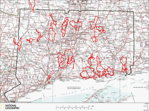
Connecticut Road Cycling Routes Map
near Taylor Town, Connecticut
View Location
A map of road cycling routes throughout Connecticut. Follow the link below for detailed route maps of each area.

 See more

Nearby Maps
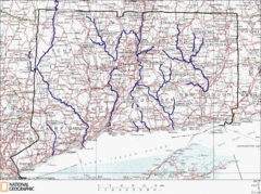
Connecticut Rivers and Coastal Paddling Map
This is a map of paddling areas for rivers and coastal kayaking. Follow the link below for...
1 mile away
Near Bargytown, Connecticut
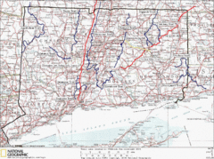
Connecticut Long Distance Trails Map
A map of long distance trails throughout Connecticut. Go to the website below for detailed trail...
3 miles away
Near West Haddam, Connecticut
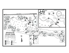
Dinosaur State Park map
Trail map of Dinosaur State Park in Connecticut.
3 miles away
Near rocky hill, ct
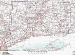
Connecticut Rock Climbing Locations Map
A map of most of the important rock climbing and bouldering areas in Connecticut. Click the link...
4 miles away
Near Goodrich Heights, Connecticut
Connecticut Canoeing and Kayaking Lakes Map
A map of the lakes and ponds that are open for canoeing and kayaking in Connecticut. For detailed...
5 miles away
Near Bargytown, Connecticut
Connecticut State Parks Map
This is statewide map for Connecticut state parks. Go to the source website for detailed hiking...
6 miles away
Near Mount Parnassus, Connecticut

 See more


 Explore Maps
 Map Directory
 click for
 Fullsize

1 Comments
love this map. gives a sense of the relative lengths of all of these loops at a glance.