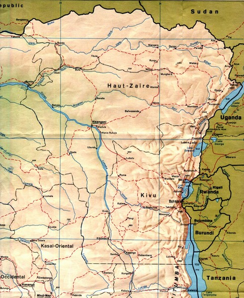
Zaire (Eastern Region) Map
near Goma, Congo
See more
 See more
Nearby Maps

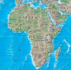
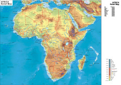
Physical Africa Map
70 miles away
Near Africa

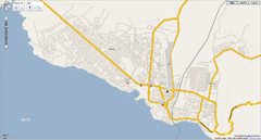
Goma, Congo street map
Street map of eastern Congo–Kinshasha city of Gome, near the Rwanda border. Produced by...
134 miles away
Near Goma, Congo-Kinshasha

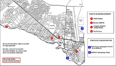
City of Goma Evacuation Plan, late 2007 Map
Map of Goma indicating evacuation points for Congolese government push against rebel groups (mostly...
134 miles away
Near Goma, Congo-Kinshasha

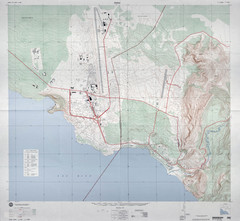
Goma Map
Goma, Democratic Republic of the Congo • original scale 1:7,500, Edition 3-DMA, Series Z091.
135 miles away
Near Goma, Congo

 click for
 Fullsize

0 Comments
New comments have been temporarily disabled.