
 Edit this map

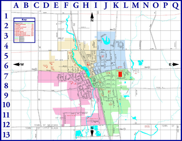
Medford City Map
near Medford, Wisconsin

 See more

Nearby Maps
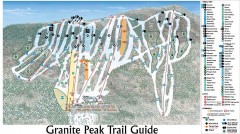
Granite Peak Ski Trail Map
Official ski trail map of Granite Peak ski area from the 2004-2005 season.
36 miles away
Near 3605 N Mountain Rd, Wausau, WI 54401
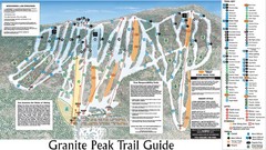
Granite Peak Ski Trail Map
Trail map from Granite Peak.
36 miles away
Near Wausau, Wisconsin, United States
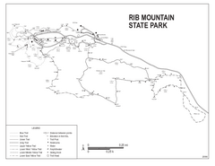
Rib Mountain State Park Map
Simple state park map with nice hiking trails.
36 miles away
Near Rib Mountain State Park, WI, USA
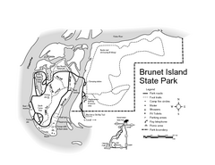
Brunet Island State Park Map
Easy to read legend.
40 miles away
Near Brunet Island State Park, WI, USA
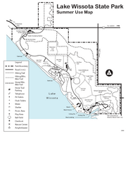
Lake Wissota State Park Map
Easy hiking along the beautiful water front.
48 miles away
Near Lake Wissota State Park, WI, USA

 See more


 Explore Maps
 Map Directory
 click for
 Fullsize


0 Comments
New comments have been temporarily disabled.