
 Edit this map

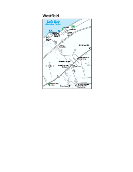
Westfield Map
near Westfield, NY
View Location
Tourist map of Westfield, New York, and surrounding area. Shows shops, museums, boat ramps and other points of interest.

 See more

Nearby Maps
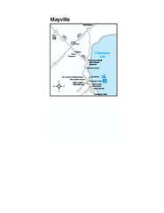
Downtown Mayville Map
Tourist map of Downtown Mayville, New York. Shows museums, restaurants, shops, government buildings...
6 miles away
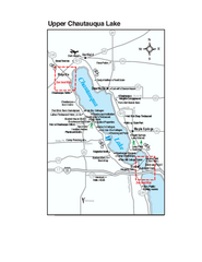
Upper Chautauqua Lake Map
Tourist map of upper Chautauqua Lake, New York. Shops, lodging, and other points of interest in the...
10 miles away
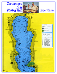
North Chautauqua Lake Fishing Map
Fishing map of northern Chautauqua Lake, New York. Shows marinas, boat ramps, state parks, and...
10 miles away
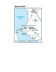
Bemus Point Map
Tourist map of Bemus Point, NY. Shows lodging, parks, shops, restaurants, and other points of...
15 miles away
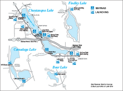
Marinas and Boat Ramps on Chautauqua and...
Recreation map of Chautauqua, Findley, Cassadaga, and Bear Lakes, New York. Shows marinas and boat...
15 miles away
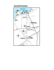
Dunkirk and Fredonia, New York Map
Tourist map of Dunkirk, New York, and Fredonia, New York. Shows shops, parks, lodging and other...
16 miles away

 See more


 Explore Maps
 Map Directory
 click for
 Fullsize


0 Comments
New comments have been temporarily disabled.