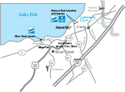
Silver Creek and Irving Map
near Silver Creek, NY
View Location
Tourist map of Silver Creek and Irving, New York. Shows shops, boat ramps, and marinas.
See more
 See more
Nearby Maps

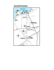
Dunkirk and Fredonia, New York Map
Tourist map of Dunkirk, New York, and Fredonia, New York. Shows shops, parks, lodging and other...
12 miles away
Near Dunkirk, NY

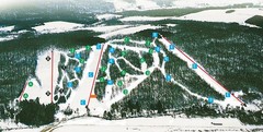
Cockaigne Ski Resort Ski Trail Map
Trail map from Cockaigne Ski Resort.
20 miles away
Near Cherry Creek, New York, United States

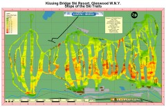
Kissing Bridge Ski Slope Map
Map of Kissing Bridge ski area; shows steepness of slopes with color-coding.
25 miles away
Near Rt. 240 Glenwood, NY

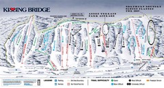
Kissing Bridge Ski Trail Map
Trail map from Kissing Bridge.
25 miles away
Near Boston, New York, United States

Buffalo Ski Club Trail Map
25 miles away
Near 7414 State Road, Colden, NY

Downtown Buffalo Map
26 miles away
Near Buffalo, NY, USA

 click for
 Fullsize


0 Comments
New comments have been temporarily disabled.