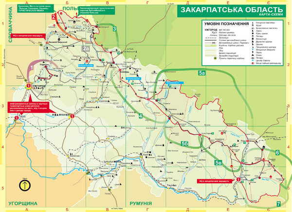
Transcarpathia Hiking Trail Map
View Location
Map of the Transcarpathia Hiking Trail (THT) in Ukraine. Trail runs through the territory of Transcarpathia in the Beskydy, Borzhava, Svydovets, Chornohora and Maramorosh areas. In Ukrainian.
See more
 See more
Nearby Maps

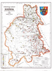
Bukovina Ethnographic Map
Ethnographic map of Bukovina, currently split between Romania and Ukraine. Map as of 1910. In...
48 miles away
Near Bukovina

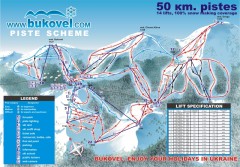
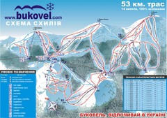
'Bukovel' Ski Resort Piste Map
Bukovel Ski Resort Piste Scheme. Near Yaremcha, Ukraine
63 miles away
Near Yaremcha, Ukraine

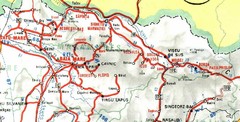
Maramures Map
65 miles away
Near Maramures, Romania

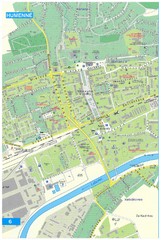
Humenne Tourist Map
Tourist map of Humenne, Slovakia. Shows all points of interest.
68 miles away
Near Humenne, Slovakia

Bukovel Ski Resort Map
Map of Bukovel's slopes, lifts and resort
73 miles away
Near Ivano-Frankivsk, ukraine

 click for
 Fullsize


0 Comments
New comments have been temporarily disabled.