Grand Canyon Hiking Trail Map
near Grand Canyon, AZ
View Location
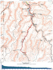
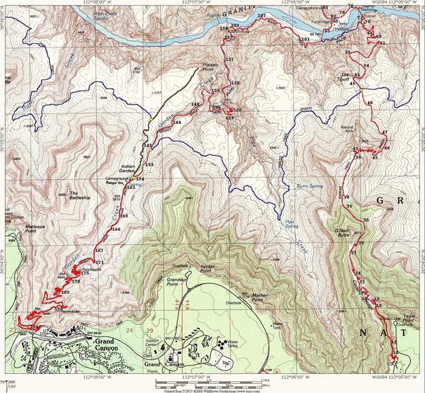
Topo map of the Grand Canyon with a loop hike down the South Kaibab Trail and up Bright Angel Trail highlighted
See more
 See more
Nearby Maps

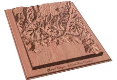
North Rim of the Grand Canyon carved by...
Grand Canyon carved by CarvedMaps.com. They specialize in hard wood carved maps of anywhere within...
2 miles away
Near Grand Canyon

Grand Canyon Havasupai Campground Map
The Grand Canyon Havasupai Campground Map
2 miles away
Near Grand Canyon, Havasupai

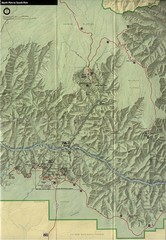
Grand Canyon National Park Map
2 miles away
Near Grand Canyon National Park

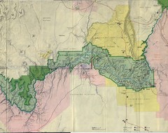
Grand Canyon National Park Map
Grand Canyon National Park including Kaibab National Forest and Coconino Plateau
14 miles away
Near Grand Canyon National Park

Grand Canyon National Park map
Official map of Grand Canyon National Park. Currently not available on the NPS website
22 miles away
Near Grand Canyon National Park, AZ

Grand Canyon Shuttle Bus Map
Guide to shuttle bus routes, points of interest and parking in Grand Canyon National Park
44 miles away
Near Grand Canyonn National Park, AZ, US

 click for
 Fullsize


0 Comments
New comments have been temporarily disabled.