San Joaquin River Parkway Map
near Fresno, CA 93710
View Location
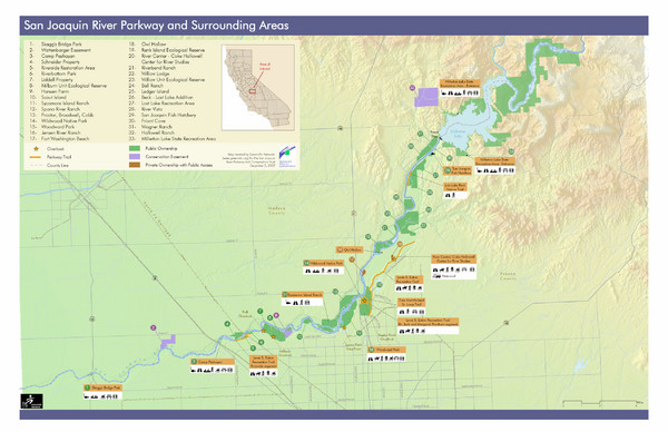
Map of the San Joaquin River Parkway. "The San Joaquin River Parkway is a mosaic of parks, trails, and ecological reserves located along the San Joaquin River between Friant Dam and Highway 145. At full build-out, the Parkway will include a 22-mile, multi-purpose trail system and numerous river access points."
See more


 See more
Nearby Maps

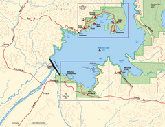
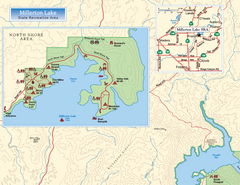
Millerton Lake State Recreation Area Park Map
Map of park with detail of trails and recreation zones
11 miles away
Near 5290 Millerton Road, Friant, CA

Millerton Lake State Recreation Area SW Map
Map of SW region of park with detail of trails and recreation zones
11 miles away
Near 5290 Millerton Road, Friant, CA

Millerton Lake State Recreation Area NW Map
Map of NW region of park with detail of trails and recreation zones
12 miles away
Near 5290 Millerton Road, Friant, CA

Millerton Lake State Recreation Area NE Map
Map of NE region of park with detail of trails and recreation zones
12 miles away
Near 5290 Millerton Road, Friant, CA

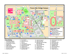
Fresno City College Campus Map
Fresno City College Campus Map. Shows all areas.
12 miles away
Near 1101 E University Avenue Fresno CA 93741

 click for
 Fullsize


0 Comments
New comments have been temporarily disabled.