
 Edit this map

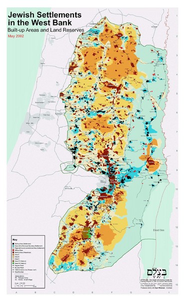
Jewish Settlements in West Bank Map
near West Bank, Israel

 See more

Nearby Maps
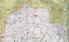
Northern West Bank Map
4 miles away
Near West Bank
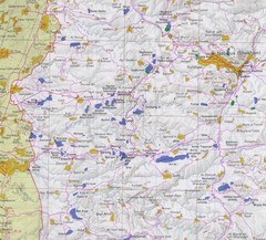
Western West Bank Map
4 miles away
Near West Bank

West Bank Land Restrictions Map
Map of land restrictions in West Bank as of 1993
4 miles away
Near West Bank
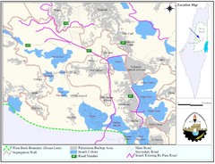
West Bank Village Map
Demographic map of several villages in the West Bank surrounding Jerusalem.
4 miles away
Near West Bank, Israel
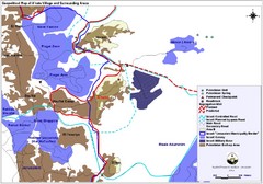
Anata Village Geopolitical Map
Geopolitical map of Anata Village in the West Bank and surrounding areas
7 miles away
Near Jerusalem, Israel

 See more


 Explore Maps
 Map Directory
 click for
 Fullsize


0 Comments
New comments have been temporarily disabled.