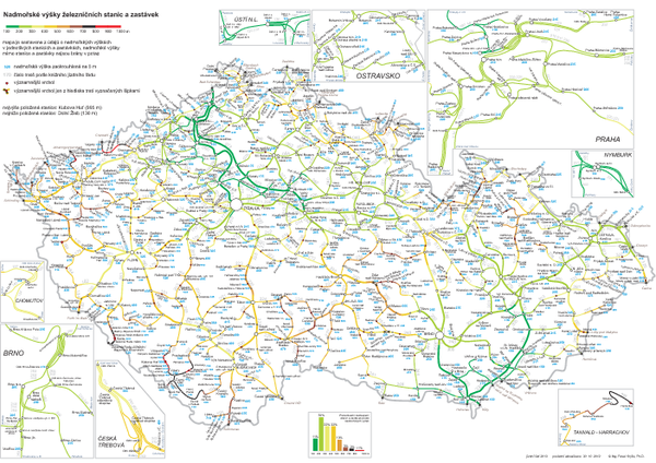
Elevation Railway Map of Czech Republic
View Location
Elevation of railways and main stations in Czech republic. Blue numbers show elevation of stations in meters, the grey are numbers of routes.
See more
 See more
Nearby Maps

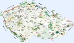
Czech Republic Tourist Map
Czech Republic Tourist Map. Includes roads, landmarks and street names.
6 miles away
Near Czech Republic

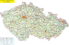
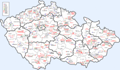
Czech Republic Road Map
Road map of the Czech Republic. Legend in Czech, German, and English.
6 miles away
Near Czech Republic

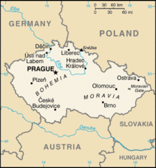
Czech Republic Country Map
Country of Czech Republic, and surrounding countries.
6 miles away
Near Czech Republic

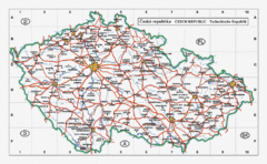
Czech Republic Country Map
Map of Czech Republic, roads, and major cities.
6 miles away
Near Czech Republic

 click for
 Fullsize

0 Comments
New comments have been temporarily disabled.