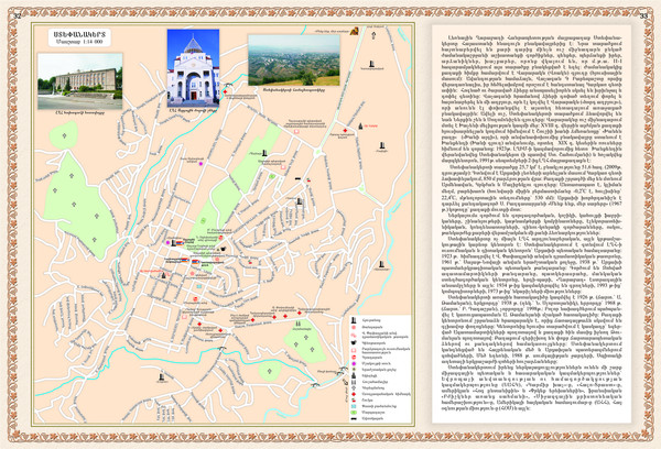
Stepanakert City Map
near Stepanakert
View Location
Map of Stepanakert, Nagorno-Karabakh Republic (Artsakh)
Tweet
See an error? Report it.
Keywords
tourism, askeran, martakert, martuni, hadrut, nagorny, artsakh, nagorno-karabakh, gandzasar, true, map, armenia, amaras, nkr, armenian, stepanakert, shushi, karabakh, artsakh, kashatagh, karvatchar, shahumyan, tigranakert, stepanakert, ستيباناكيرت, ստեփանակերտ, სტეფანაკერტის, סטעפּאַנאַקערט, 斯捷潘納克特, استپاناکرت, ステパナケルト, степанакерт, artsakh, арцах, արցախ, karabakh, karabach, karabah, קאַראַבאַך, کاراباخ, ğarabağ, คาราบาคห์, கரபாக், karabaj, карабах, قره, باغ, karabache, karabaha, 카라바흐, カラバフ, קרבאך, καραμπάχ, ყარაბაღის, karabahin, karabahhi, karabaĥo, 卡拉巴赫, 埃里温, qarabağ, ղարաբաղ, كاراباخ, city, map See more
 See more
Nearby Maps

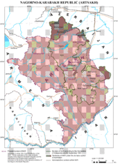
Karabakh Map
Up-to-date Map of the Nagorno-Karabakh Republic (Republic of Arstakh)
0 miles away
Near Stepanakert

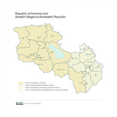
Map of Armenian states - the Republic of Armenia...
Map of Armenian states - the Republic of Armenia and the Nagorno-Karabakh Republic
2 miles away
Near Karabakh

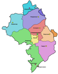
Administrative Map of Nagorny Karabakh (Artsakh)
Administrative Division of the Nagorno-Karabakh Republic (Artsakh)
2 miles away
Near Karabakh

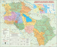
Karabakh & Armenia Map
Map of Armenian states - the Republic of Armenia and the Nagorno-Karabakh Republic
3 miles away
Near Karabakh

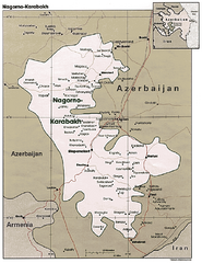
Nagorno-Karabakh Map
Major towns and borders are clearly marked on this map.
3 miles away
Near Nagorno-Karabakh

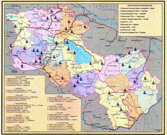
Monuments of Armenia and Nagorny Karabakh Map
Monuments of modern Armenian states - the Republic of Armenia (Ararat Republic) and the Nagorno...
8 miles away
Near Karabakh

 click for
 Fullsize

0 Comments
New comments have been temporarily disabled.