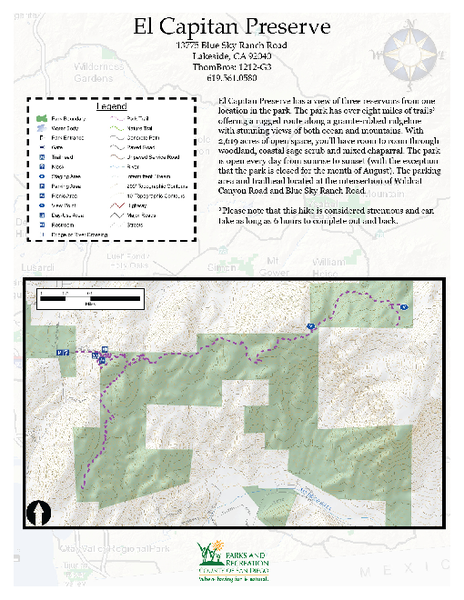
El Capitan Preserve Map
near 13775 Blue Sky Ranch Road Lakeside, CA 92040
View Location
El Capitan Preserve has a view of three reservoirs from one location in the park. The park has eight miles of trails offering a rugged route along a granite-ribbed ridgeline with stunning views of both ocean and mountains. With 2,619 acres of open space, you'll have room to roam through woodland, coastal sage scrub and mixed chaparral. The park is open every day from sunrise to sunset (with the exception that the park is closed for the month of August). The parking area and trailhead located at the intersection of Wildcat Canyon Road and Blue Sky Ranch Road.
Nearby Maps
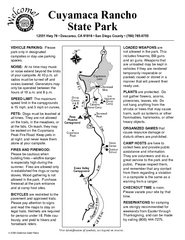
Cuyamaca Rancho State Park Campground Map
Map of park with detail of trails and recreation zones
12 miles away
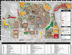
San Diego State University Map
19 miles away

Qualcomm Stadium Map
Clear map and pricing for Qualcomm Stadium.
22 miles away
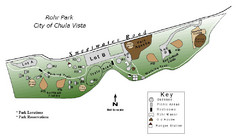
Rohr Park Map
22 miles away
San Diego Coast State Parks & Beaches Map
Map of state parks and beaches along the San Diego coastline
24 miles away
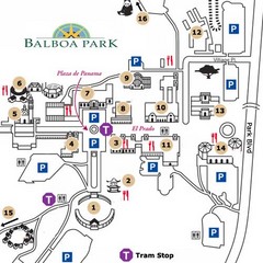
Balboa Park Tourist Map
24 miles away

 click for
 Fullsize

0 Comments
New comments have been temporarily disabled.