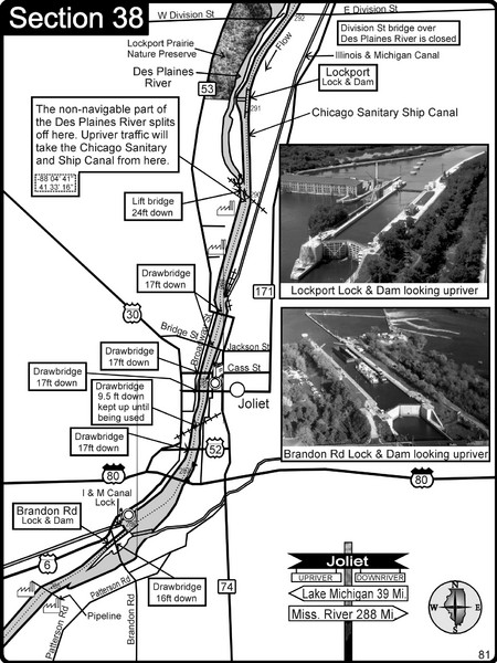
Joliet, IL Illinios river/Des Plaines River/I&M Canal Map
near Joliet, IL
View Location
For boating navigation and river road travel on the Illinois Waterway.
Tweet
See an error? Report it.
Keywords
recreation, boating, rivers, illinois river, canoeing, navigation, river maps, charts, marinas, islands See more
 See more
Nearby Maps

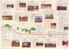
Old Plank Road Trail Map
Map and guide to the Old Plank Road Trail from Joliet, Illinois to Park Forest, Illinois
10 miles away
Near Joliet, Illinois

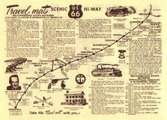
Route 66 Chicago, IL to Springfield, MI Map
15 miles away
Near Route 66 - Chicago, IL to Springfield, MI

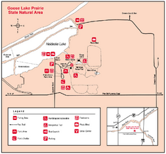
Goose Lake Prairie, Illinois Site Map
15 miles away
Near Goose Lake Prairie, Illinois

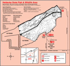
Heidecke Lake, Illinois Site Map
17 miles away
Near Heidecke Lake, Illinois

Chicago Portage Canoe Trail Map
Map of the Chicago Portage Canoe Trail in western Cook County on the Des Plaines River, Illinois...
17 miles away
Near Lemont, IL

Illinois and Michigan Canal - East Site Map
18 miles away
Near Illinois and Michigan Canal

 click for
 Fullsize

0 Comments
New comments have been temporarily disabled.