
 Edit this map

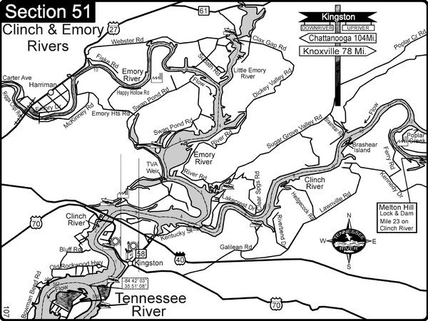
Kingston, TN Tennessee River/Clinch River/Emory River Map
near Kingston, TN
View Location
Shows a bend on the Tennessee River at the confluence of the Clinch & Emory Rivers. For boat navigation and river road travel.
Tweet
See an error? Report it.
Keywords
recreation, boating, rivers, tennessee river, canoeing, navigation, river maps, charts, marinas, islands
 See more

Nearby Maps
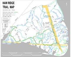
Haw Ridge Trail Map
18 miles away
Near Haw Ridge Park, TN, USA
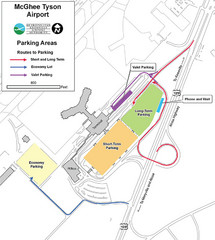
McGhee Tyson Airport Map
27 miles away
Near McGhee Tyson Airport

University of Tennessee Map
30 miles away
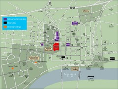
University of Tennessee Map
Map with locations of downtown Tennessee.
30 miles away
Near University of Tennesee, TN, USA
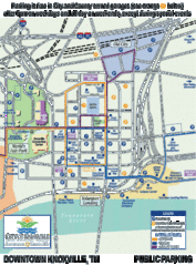
Knoxville, Tennessee City Map
31 miles away
Near Knoxville, Tennessee
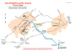
Knoxville and Oakridge Airports Map
31 miles away
Near Knoxville

 See more


 Explore Maps
 Map Directory
 click for
 Fullsize

0 Comments
New comments have been temporarily disabled.