
 Edit this map

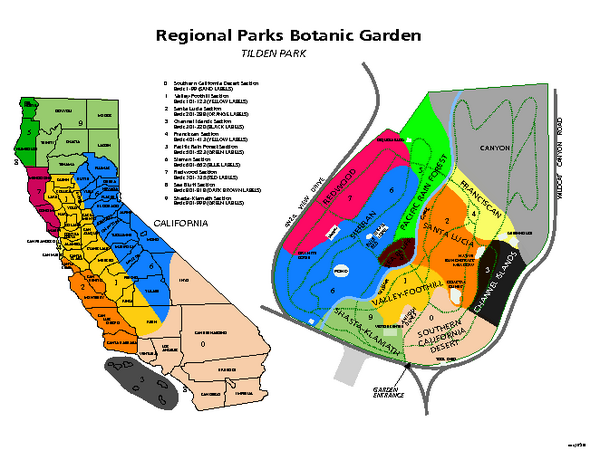
Tilden Regional Park and Native Plant Garden Map
near Berkeley, CA

 See more

Nearby Maps
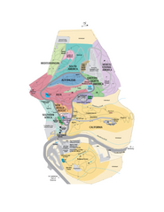
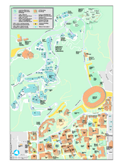
UC Botanical Gardens Map
Unfortunately this is a copy of an interactive map, so is slightly blurred at full size
0 miles away
Near Berkeley, CA
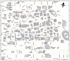
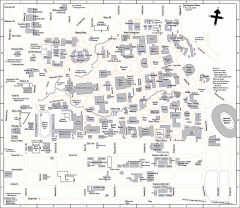
University of California at Berkeley Map
Campus map of the University of California at Berkeley. All buildings shown.
less than 1 mile away
Near Berkeley, California
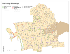
Bikeway Network of Berkeley, California Map
Map of current and proposed bike paths, lanes, and boulevards in Berkeley, California.
less than 1 mile away
Near Berkeley, CA
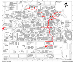
UC Berkely Campus Map
1 mile away
Near University of California Berkeley, California
University of California, Berkeley Visitor Map
Colorful Map that illustrates the location of all buildings, parking areas, and streets in and...
1 mile away
Near Berkeley, California, USA

 See more


 Explore Maps
 Map Directory
 click for
 Fullsize

0 Comments
New comments have been temporarily disabled.