
 Edit this map

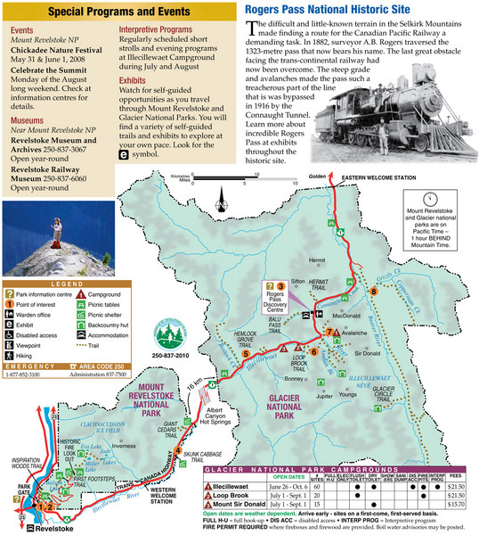
Glacier National Park and Revelstoke National Park Map
near Glacier National Park, BC
View Location
Official park map of Glacier National Park and Revelstoke National Park in British Columbia, Canada.

 See more

Nearby Maps
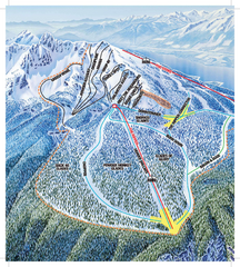
Revelstoke Ski Trail Map - North Bowl
Ski trail map of the North Bowl of Revelstoke ski area in Revelstoke, BC. From the 2008-2009...
25 miles away
Near Revelstoke Mountain, Canada
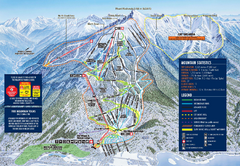
Revelstoke Ski Trail Map 2009-2010
Official ski trail map of Revelstoke Mountain Resort from the 2009-2010 season.
25 miles away
Near Revelstoke, BC
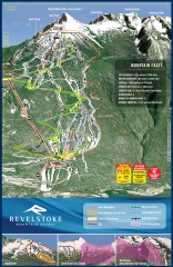
Revelstoke Ski Trail Map
Official ski trail map of Revelstoke ski area from the inaugural 2007-2008 season.
25 miles away
Near Revelstoke, BC
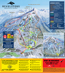
Revelstoke Ski Trail Map 2010-11
Ski trail map of Revelstoke Mountain Resort for the 2010-2011 season. Inset shows North Bowl area.
26 miles away
Near Revelstoke, BC
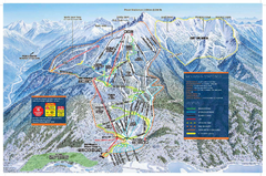
Revelstoke Ski Trail Map - Front side
Ski trail map of front side of Revelstoke ski area in Revelstoke, Canada from the 2008-2009 season.
26 miles away
Near Revelstoke Mountain, Canada
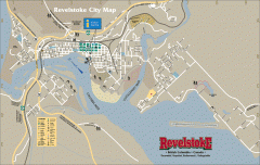
Revelstoke City Map
Overview map of Revelstoke, BC. Shows Points of Interest and activity icons
26 miles away
Near Revelstoke, BC

 See more


 Explore Maps
 Map Directory
 click for
 Fullsize


0 Comments
New comments have been temporarily disabled.