
 Edit this map

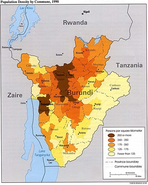
Burundi Population Density Map
near Burundi

 See more

Nearby Maps
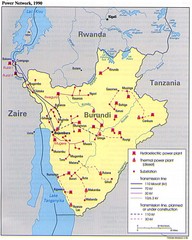
Burundi Power Plant Map
Map marking hydroelectric and thermal power plants, plus transmission lines.
0 miles away
Near Burundi
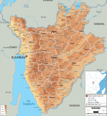
Burundi Physical Map
2 miles away
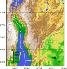
Burundi Topography Map
Color-coded physical relief map of country of Burundi
8 miles away
Near Burundi
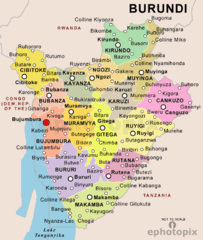
Burundi Political Map
11 miles away

 See more


 Explore Maps
 Map Directory
 click for
 Fullsize

0 Comments
New comments have been temporarily disabled.