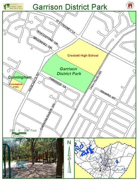
Garrison District Park Map
near 6001 Manchaca Rd., Austin
See more
 See more
Nearby Maps

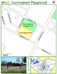
Cunningham Playground Map
less than 1 mile away
Near 2200 Berkeley Ave. Austin

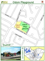
Odom Playground Map
less than 1 mile away
Near 1010 Turtle Creek Blvd. Austin

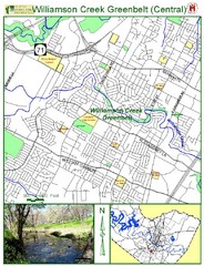
Central Williams Creek Greenbelt Map
less than 1 mile away
Near 5120 S. 1st St Austin

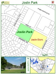
Joslin Park Map
less than 1 mile away
Near 4500 Manchaca Rd. Austin

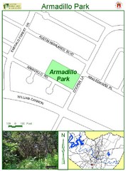
Armadillo Park Map
1 mile away
Near Armadillo & Cooper

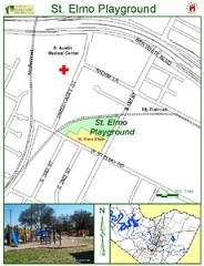
St. Elmo Playground Map
1 mile away
Near 4410 S. 1st St. Austin

 click for
 Fullsize

0 Comments
New comments have been temporarily disabled.