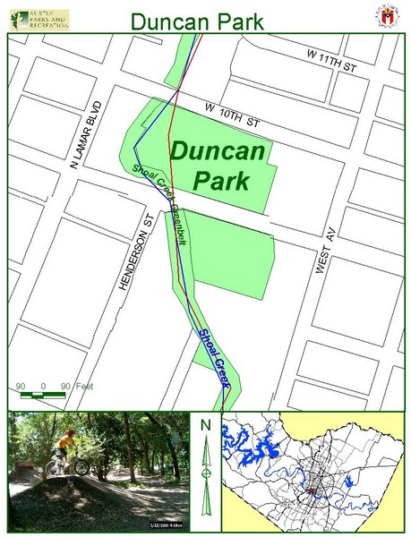
Duncan Park Map
near 900 W. 9th St. Austin
See more
 See more
Nearby Maps

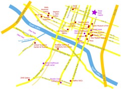
Austin Texas Map
Surrounding buildings and gallerias near Austin, Texas.
less than 1 mile away
Near Texas State Capitol, Austin, TX

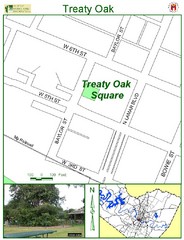
Treaty Oak Map
less than 1 mile away
Near 507 Baylor St. Austin

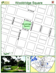
Wooldridge Square Map
less than 1 mile away
Near 900 Guadalupe St Austin

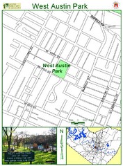
West Austin Park Map
less than 1 mile away
Near 1317 W. 10th St. Austin

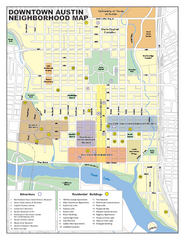
Downtown Austin District Map
Street map of downtown Austin with detail of districts
less than 1 mile away
Near Austin, TX

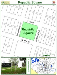
Republic Square Map
less than 1 mile away
Near 422 Guadalupe St. Austin

 click for
 Fullsize

0 Comments
New comments have been temporarily disabled.