Territorial Expansion in Eastern United States - 1850 Historical Map
near United States
See more
 See more
Nearby Maps

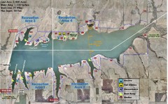
Winfield City Lake Map
Recreation map of Winfield City Lake in Winfield, Kansas. Named Timber Creek Lake. Shows camping...
10 miles away
Near 10348 141st Road, Winfield, Kansas

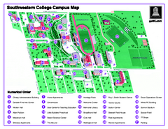
Southwestern College Campus Map
Southwestern College Campus Map. Shows all buildings.
14 miles away
Near 100 College Street Winfield, KS 67156

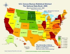
United States Travel Time to Work Statistical Map
22 miles away
Near United States

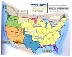
American Expansion 1818-1853 Map
Shows the four major steps through which the US gained most of it's western land between 1818...
22 miles away
Near United States

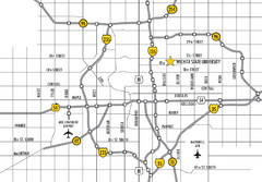
Wichita, Kansas City Map
22 miles away
Near Wichita, Oklahoma

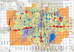
Wichita Functional Land Use Guide Map
Development map for future land use by 2030
24 miles away
Near Wichita, KS, US

 click for
 Fullsize

0 Comments
New comments have been temporarily disabled.