Edit this map

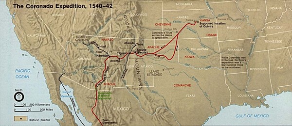
The Coronado Expedition 1540-1542 Historical Map

near United States

View LocationView Map

37.7185903255881 -95.09765625 3 satellite
Nearest Map »  Fullsize
1230 × 532136 KBJPG

From www.lib.utexas.edu

Brigid added
Sep 16, 2009

Rating
no ratings

See an error? Report it.

Keywords

history, united states, coronado expedition, 1540, country, exploration

0 Comments

New comments have been temporarily disabled.
See more

Nearby Maps

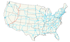
United States Interstate Map

United States Interstate Map

Interstates in the U.S.

14 miles away

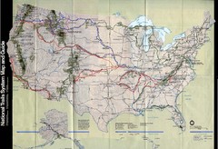
National Trails System Map

National Trails System Map

Map of all major US trail systems

29 miles away

Near United States
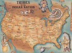
Tribes of the Indian Nation Map

Tribes of the Indian Nation Map

Guide to the native tribes of North America

29 miles away

Near US
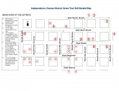
Walking tour of Historic Independence Map

Walking tour of Historic Independence Map

Self-guided walking tour map of Historic Independence, Kansas. Shows historic housing in the...

48 miles away

Near independence, kansas
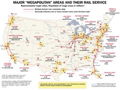
Amtrak Major Railway Map

Amtrak Major Railway Map

Guide to major cities and rail lines connecting them

48 miles away

Near United States

Keywords: transportation
Ozark Christian College Map

Ozark Christian College Map

53 miles away

Near 1111 North Main Street, Joplin, MO
Keywords: school
See more