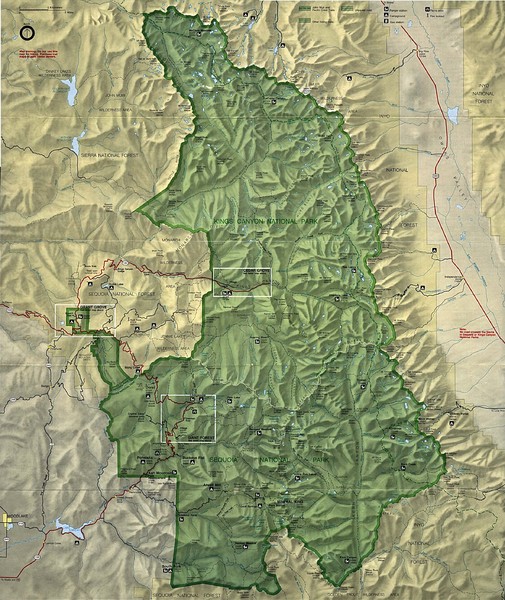
King Canyon and Seqouia Nationa Parks Map
near Kings Canyon National Park
See more
 See more
Nearby Maps

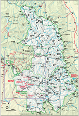
Sequoia National Park map and Kings Canyon...
Official park map of Sequoia National Park and Kings Canyon National Park.
1 mile away
Near Sequoia National Park, CA

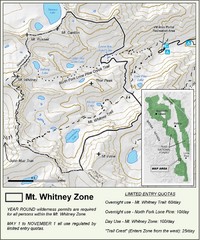
Mt. Whitney Zone Map
Zone map of Mt. Whitney area. Shows trail from Whitney Portal and Zone requiring Limited Use...
19 miles away
Near Whitney Portal, CA

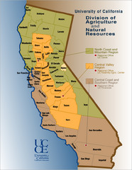
California Agricultural Region Map
26 miles away
Near California

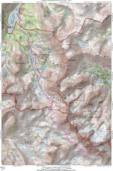
North Palisade South Lake Route Topo Map
Topo map of route from South Lake to North Palisade, 14,242 ft.
27 miles away

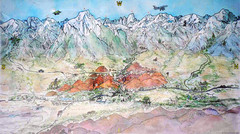
Lone Pine Map
Panorama tourist map of town of Lone Pine, California with surrounding area including the Alabama...
28 miles away
Near Lone Pine, CA

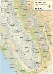
San Joaquin Valley Air Basin Map
This map is used to track air monitoring locations in periodic progress reports.
32 miles away
Near sacramento, california

 click for
 Fullsize

0 Comments
New comments have been temporarily disabled.