Acadia National Park Map
near Acadia National Park
View Location
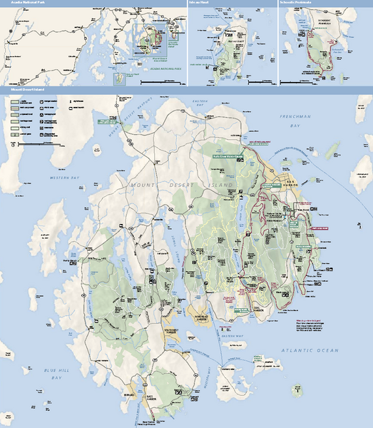
Official map of Acadia National Park, Maine. "Except for one mainland section, Acadia National Park is located on offshore islands along the coast of Maine. Most of the park is located on Mount Desert Island, which is accessible by vehicle." - from NPS.gov
See more
 See more
Nearby Maps

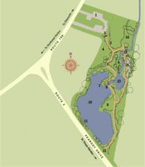
Asticou Azalea Garden Map
1. Parking Area 2. Main Gate 3. Moss Corridor 4. Service Area 5. Heath Garden 6. Sand Garden...
4 miles away
Near NorthEast Harbor, ME

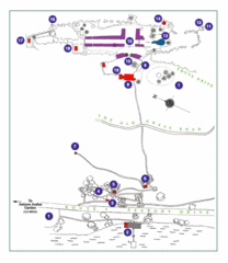
Thuya Garden Map
1. Parking 2. Asticou Terraces Landing 3. Joseph H. Curtis Memorial 4. Stone Lookout 5. Second...
4 miles away
Near NorthEast Harbor, ME

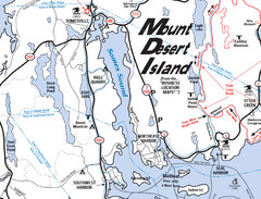
Mt. Desert Island Map
4 miles away
Near Mt. Desert Island, Maine

Southwest Harbor, Maine Map
Maine Coast Welcome Center's local Map of Southwest Harbor, Me with recommended business...
5 miles away
Near Southwest Harbor, Me, Usa

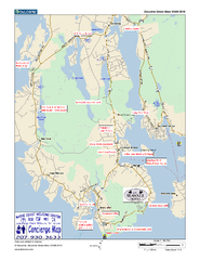
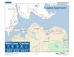
Acadia Approach Map
Maine Coast Welcome Center's local Map of the approach to Acadia, Me with recommended business...
6 miles away
Near hulls cove, maine

 click for
 Fullsize


0 Comments
New comments have been temporarily disabled.